MyTopo
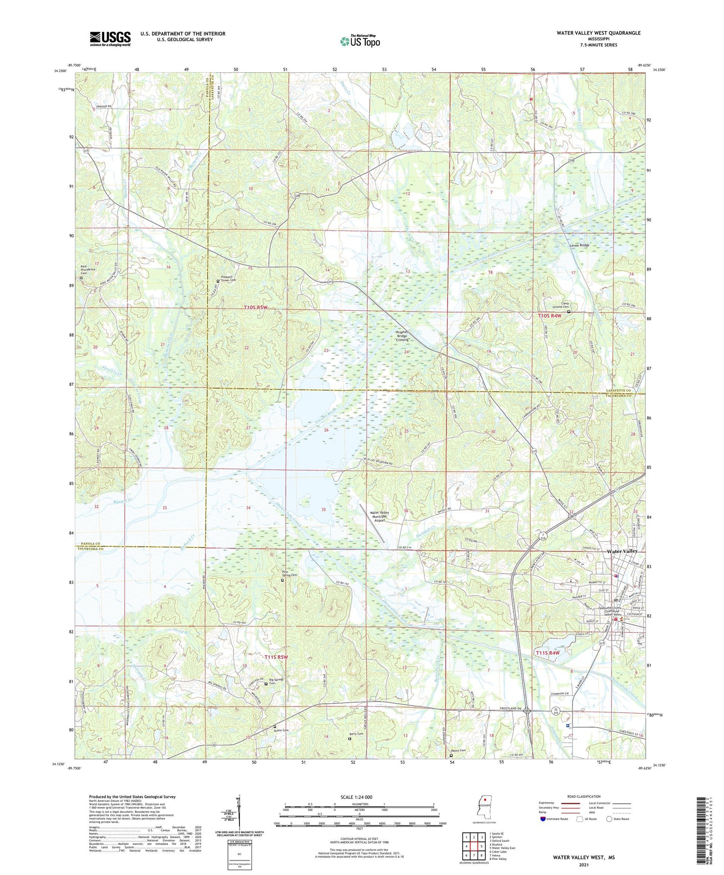
Water Valley West Mississippi US Topo Map
Couldn't load pickup availability
2024 topographic map quadrangle Water Valley West in the state of Mississippi. Scale: 1:24000. Based on the newly updated USGS 7.5' US Topo map series, this map is in the following counties: Yalobusha, Lafayette, Panola. The map contains contour data, water features, and other items you are used to seeing on USGS maps, but also has updated roads and other features. This is the next generation of topographic maps. Printed on high-quality waterproof paper with UV fade-resistant inks.
Quads adjacent to this one:
West: Shuford
Northwest: Sardis SE
North: Splinter
Northeast: Oxford South
East: Water Valley East
Southeast: Pine Valley
South: Velma
Southwest: Coker Lake
This map covers the same area as the classic USGS quad with code o34089b6.
Contains the following named places: Austin Cemetery, Berry Cemetery, Big Springs Cemetery, Big Springs Church, Bynum, Bynum Creek, Bynum Creek Recreation Area, Bynum School, Camp Ground, Camp Ground Cemetery, Camp Ground Church, Camp Ground School, Church Grove School, City of Water Valley, Dallas Jones Crossing, Davis Creek, Flowers Creek, Forest Hill Church, Glady Creek, Good Branch, Grays School, Hobuck Creek, Jefferson Davis School, Johnson Creek, Kind Providence Cemetery, Kind Providence Church, Kirkwood School, Lafayette County Fire Department Station 16 Union West, Lester School, Levee Bridge, Moore Cemetery, New Providence Church, North Bynum Creek, Oak Ridge Church, Otoucalofa Creek, Pine Spring Cemetery, Pleasant Green Cemetery, Pleasant Green Church, Pleasant Grove Church, Prophet Bridge Crossing, Prophet Bridge Recreation Area, Ragsdale Stand Post Office, Sanders Chapel, Splinter Creek, Supervisor District 3, Susie Perry Creek, Swindell Creek, Town Creek, Union West Church, Union West School, Washington, Water Valley, Water Valley Elementary School, Water Valley Fire Department, Water Valley High School, Water Valley Municipal Airport, Water Valley Police Department, Water Valley Post Office, Water Valley Sewage Lagoon Dam, Wilson Creek, Yalobusha County Courthouse, Yalobusha General Hospital


