MyTopo
Skene Mississippi US Topo Map
Couldn't load pickup availability
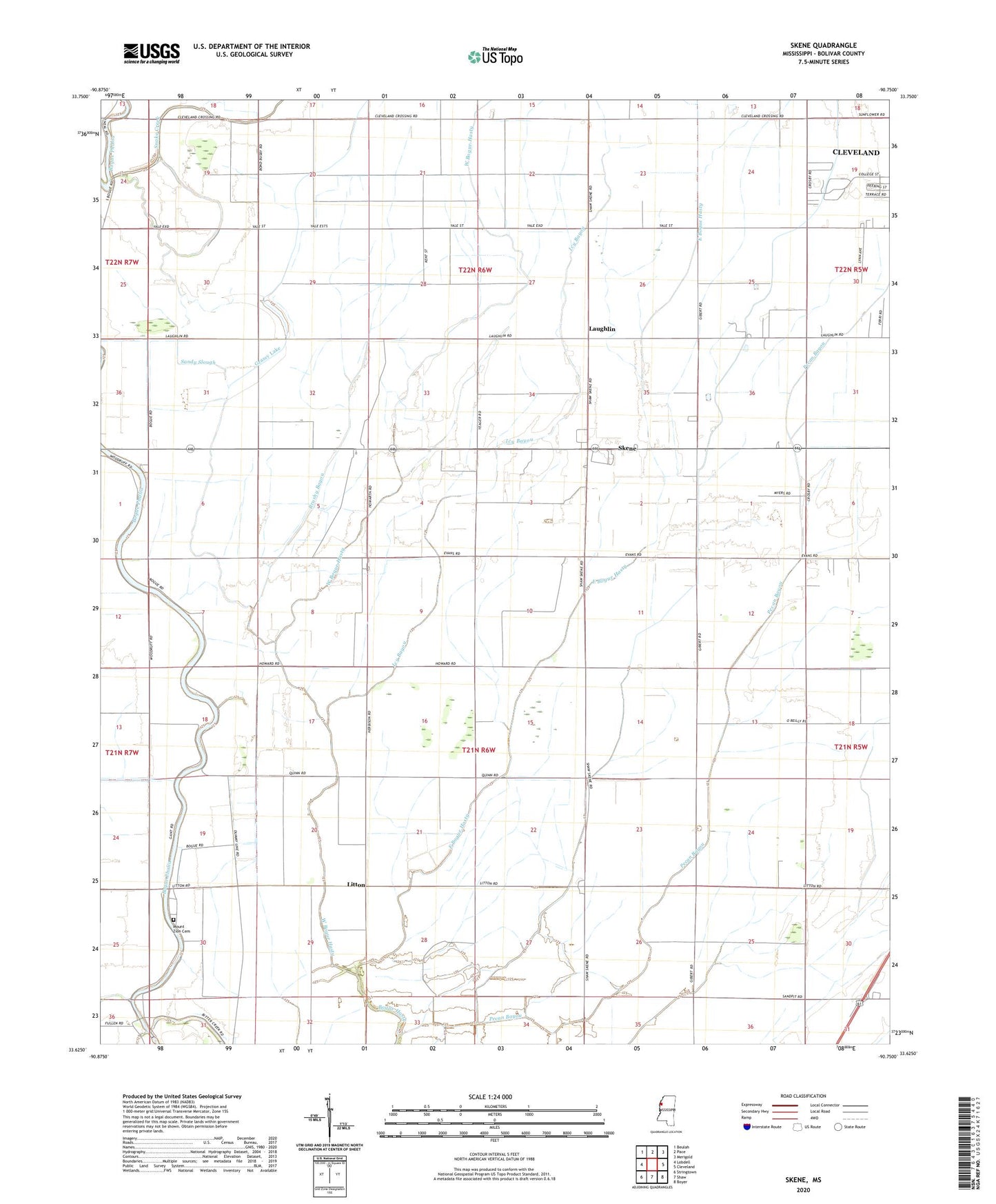
2024 topographic map quadrangle Skene in the state of Mississippi. Scale: 1:24000. Based on the newly updated USGS 7.5' US Topo map series, this map is in the following counties: Bolivar. The map contains contour data, water features, and other items you are used to seeing on USGS maps, but also has updated roads and other features. This is the next generation of topographic maps. Printed on high-quality waterproof paper with UV fade-resistant inks.
Quads adjacent to this one:
West: Lobdell
Northwest: Beulah
North: Pace
Northeast: Merigold
East: Cleveland
Southeast: Boyer
South: Shaw
Southwest: Stringtown
This map covers the same area as the classic USGS quad with code o33090f7.
Contains the following named places: Bear Pen Canal, Bear Pen Park, Brushy Bayou, Camp Slough Canal, Chesterfield Church, Cleveland Crossing, Damascus Church, Ditch Number E-3, Ditch Number E-5, Ditch Number E-7, Ditch Number Four, Ditch Number Nine, Ditch Number One, Ditch Number Seventeen, Ditch Number Ten, Ditch Number Three, Ditch Number Twenty, Ditch Number Twentyeight, Ditch Number Twentynine, Ditch Number Twentysix, East Bogue Hasty, El Bethel Church, Gospel Temple, Grassy Lake, Icy Bayou, Judge Brizzell Pond Dam, Laughlin, Litton, Mission Bautista Mexicana, Mount Olive Church, Mount Pilgrim Church, Mount Zion Cemetery, Mount Zion Church, New Saint James Church, Pecan Bayou, Pleasant Grove Church, Poplar Grove Church, Saint John Church, Saint Paul Church, Sandy Slough, Skene, Skene Census Designated Place, Skene School, Snake Creek, Supervisor District 5, West Bogue Hasty, ZIP Code: 38730