MyTopo
Canton Missouri US Topo Map
Couldn't load pickup availability
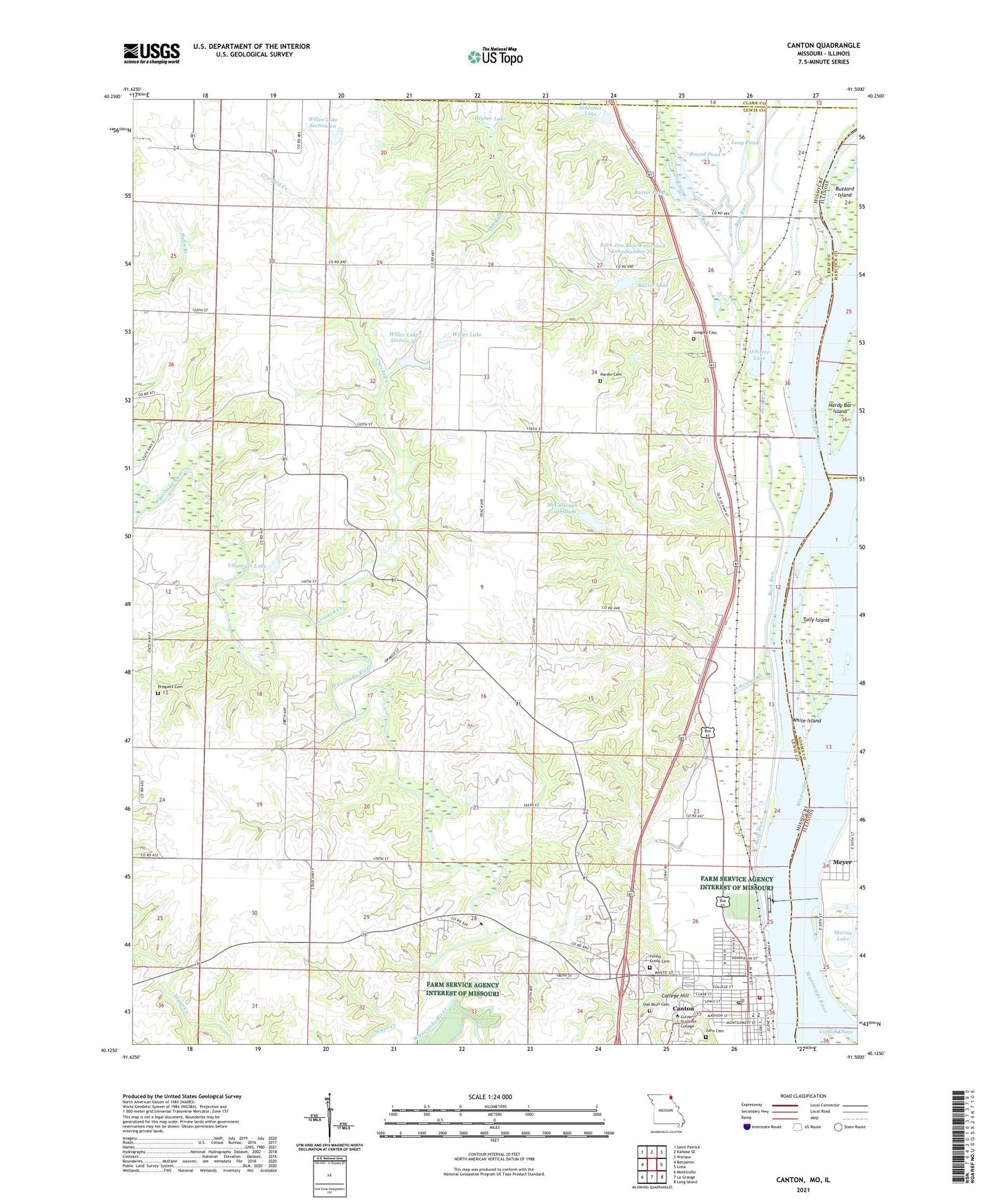
2021 topographic map quadrangle Canton in the states of Missouri, Illinois. Scale: 1:24000. Based on the newly updated USGS 7.5' US Topo map series, this map is in the following counties: Lewis, Adams, Hancock, Clark. The map contains contour data, water features, and other items you are used to seeing on USGS maps, but also has updated roads and other features. This is the next generation of topographic maps. Printed on high-quality waterproof paper with UV fade-resistant inks.
Quads adjacent to this one:
West: Benjamin
Northwest: Saint Patrick
North: Kahoka SE
Northeast: Warsaw
East: Lima
Southeast: Long Island
South: La Grange
Southwest: Monticello
Contains the following named places: Artesian Branch, Augusta, Augusta School, Baxter Lake, Baxter Lake Dam, Baxter Ponds, Bland School, Brownsville Island, Bruns Lake, Buck Doe Run Creek Watershed Dam Number 43, Buck Run, Buck-Doe Run Creeks Watershed Lake Number 39, Buck-Doe Run Creeks Watershed Lake Number 39 Dam, Buck-Doe Run Creeks Watershed Number 5 Dam, Buck-Doe Run Creeks Watershed Structure Number 6 Dam, Buck-Doe Run Watershed Lake Number 25, Buck-Doe Run Watershed Structure Number 25 Dam, Buck-Doe Run Watershed Structure Number 27a Dam, Buck-Doe Run Watershed Structure Number 27b Dam, Buck-Doe Run Watershed Structure Number 3 Dam, Buck-Doe Run Watershed Structure Number 35 Dam, Buck-Doe Run Watershed Structure Number 38 Dam, Buck-Doe Run Watershed Structure Number 42 Dam, Buena Vista Church, Buena Vista School, Canton Ferry, Canton Fire Department, Canton Police Department, Canton Post Office, Carnegy Mill, City of Canton, Clark Lake, Clark Lake Dam, College Hill, Crooked Creek, Culver Stockton College, Doe Run, Fair Oak School, Forest Grove Cemetery, Gregory Cemetery, Hardin Cemetery, Hardin School, Hardy Bar Island, Hazel Grove School, Higbee Lake, KQCA-FM (Canton), Laura, Lewis County Number 36 Dam, Lewis County Number 37 Dam, Lloyd Lake North, Lloyd Lake South, Lock and Dam 20, Lock and Dam Number Twenty, Long Lake, Long Pond, Marks Lake, Marks Lake Dam, McCullough South Dam, Melrose School, Meyer, Meyer Census Designated Place, Mount Moriah Church, Oak Bluff Cemetery, O'Farre Lake, Pleasant Grove School, Pool 20, Prospect Cemetery, Round Pond, Santuzza, Schlotter Lake, Shiloh Church, The Adwell Corporation Airport, Township of Canton, Tully, Tully Island, Uhlmeyer Lake, Uhlmeyer Lake Dam, White Island, Willer Lake, Willer Lake Dam, Willer Lake Section 20, Willer Lake Section 20 Dam, Willer Lake Section 32, Willer Lake Section 32 Dam, Zahn Cemetery, ZIP Code: 63435