MyTopo
Benjamin Missouri US Topo Map
Couldn't load pickup availability
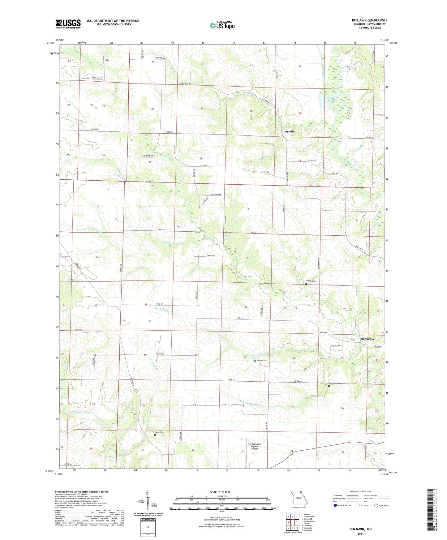
2021 topographic map quadrangle Benjamin in the state of Missouri. Scale: 1:24000. Based on the newly updated USGS 7.5' US Topo map series, this map is in the following counties: Lewis. The map contains contour data, water features, and other items you are used to seeing on USGS maps, but also has updated roads and other features. This is the next generation of topographic maps. Printed on high-quality waterproof paper with UV fade-resistant inks.
Quads adjacent to this one:
West: Williamstown
Northwest: Neeper
North: Saint Patrick
Northeast: Kahoka SE
East: Canton
Southeast: La Grange
South: Monticello
Southwest: Lewistown
This map covers the same area as the classic USGS quad with code o40091b6.
Contains the following named places: Allen School, Antioch Church, Benjamin, Boudreau School, Bunker Hill, Bunker Hill School, Canton, Derrahs, Derrahs Branch, Derrahs School, Fretwell Branch, Graves Cemetery, Hahn Branch, Henton Cemetery, Jarvis Cemetery, Leg Branch, Lewis County Regional Airport, Little Sugar Creek, Old Channel Wyaconda River, Patterson Cemetery, Plano School, Prairie View Church, Providence School, Rainbow Slough, Ramsey Branch, South Branch Little Sugar Creek, Tom Branch, Township of Lyon, Zion Hill Church, ZIP Code: 63457