MyTopo
Cleopatra Missouri US Topo Map
Couldn't load pickup availability
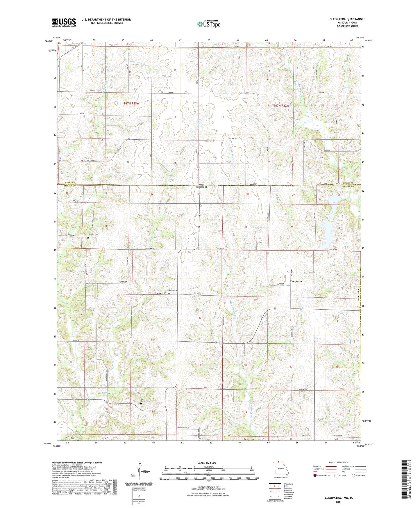
2021 topographic map quadrangle Cleopatra in the states of Missouri, Iowa. Scale: 1:24000. Based on the newly updated USGS 7.5' US Topo map series, this map is in the following counties: Mercer, Wayne, Putnam. The map contains contour data, water features, and other items you are used to seeing on USGS maps, but also has updated roads and other features. This is the next generation of topographic maps. Printed on high-quality waterproof paper with UV fade-resistant inks.
Quads adjacent to this one:
West: Lineville
Northwest: Woodland
North: Clio
Northeast: Allerton
East: Powersville
Southeast: Lucerne
South: Ravanna
Southwest: Princeton
Contains the following named places: Brush College School, Cleopatra, Cleopatra School, Clinton Center, Clinton Center Post Office, Epworth Church, Ilia, Illra School, Irwin Creek, Laughlin Cemetery, Laughlin School, Little Muddy Creek, Lowry Snyder Cemetery, Medicine Creek Wildlife Area, Township of Clinton, Township of Grand River, Township of Somerset, Wilder Cemetery