MyTopo
Crocker Missouri US Topo Map
Couldn't load pickup availability
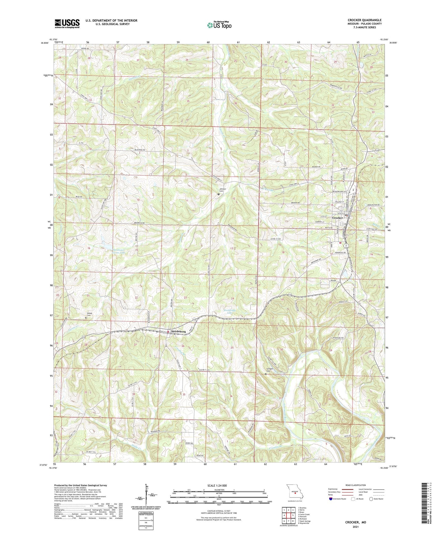
2021 topographic map quadrangle Crocker in the state of Missouri. Scale: 1:24000. Based on the newly updated USGS 7.5' US Topo map series, this map is in the following counties: Pulaski. The map contains contour data, water features, and other items you are used to seeing on USGS maps, but also has updated roads and other features. This is the next generation of topographic maps. Printed on high-quality waterproof paper with UV fade-resistant inks.
Quads adjacent to this one:
West: Conns Creek
Northwest: Brumley
North: Iberia
Northeast: Brays
East: Hancock
Southeast: Waynesville
South: Ozark Springs
Southwest: Richland
Contains the following named places: Alexander Farms Dam, Alexander Farms Lake, Assembly of God Church, Bethlehem Church, Beulah Church, Camp Gasconade, Cave Lodge, City of Crocker, Concord Church, Crews Branch, Crocker, Crocker Fire Protection District Station 1 Headquarters, Crocker Fire Protection District Station 2, Crocker Fire Protection District Station 3, Crocker Fire Protection District Station 4, Crocker Police Department, Crocker Post Office, Crumley Branch, Gunlock Creek, Johnson Cemetery, Lee School, Liberty School, Miller School, Ody Park, Schlicht Mill, Schlight Cemetery, Spencer Place, Swede Cemetery, Swede Lookout Tower, Swedeborg, Swedeborg School, Township of Tavern, Willhite Airport, Wooldridge Lake, Wooldridge Lake Dam, Zion Church, ZIP Code: 65452