MyTopo
Elsey Missouri US Topo Map
Couldn't load pickup availability
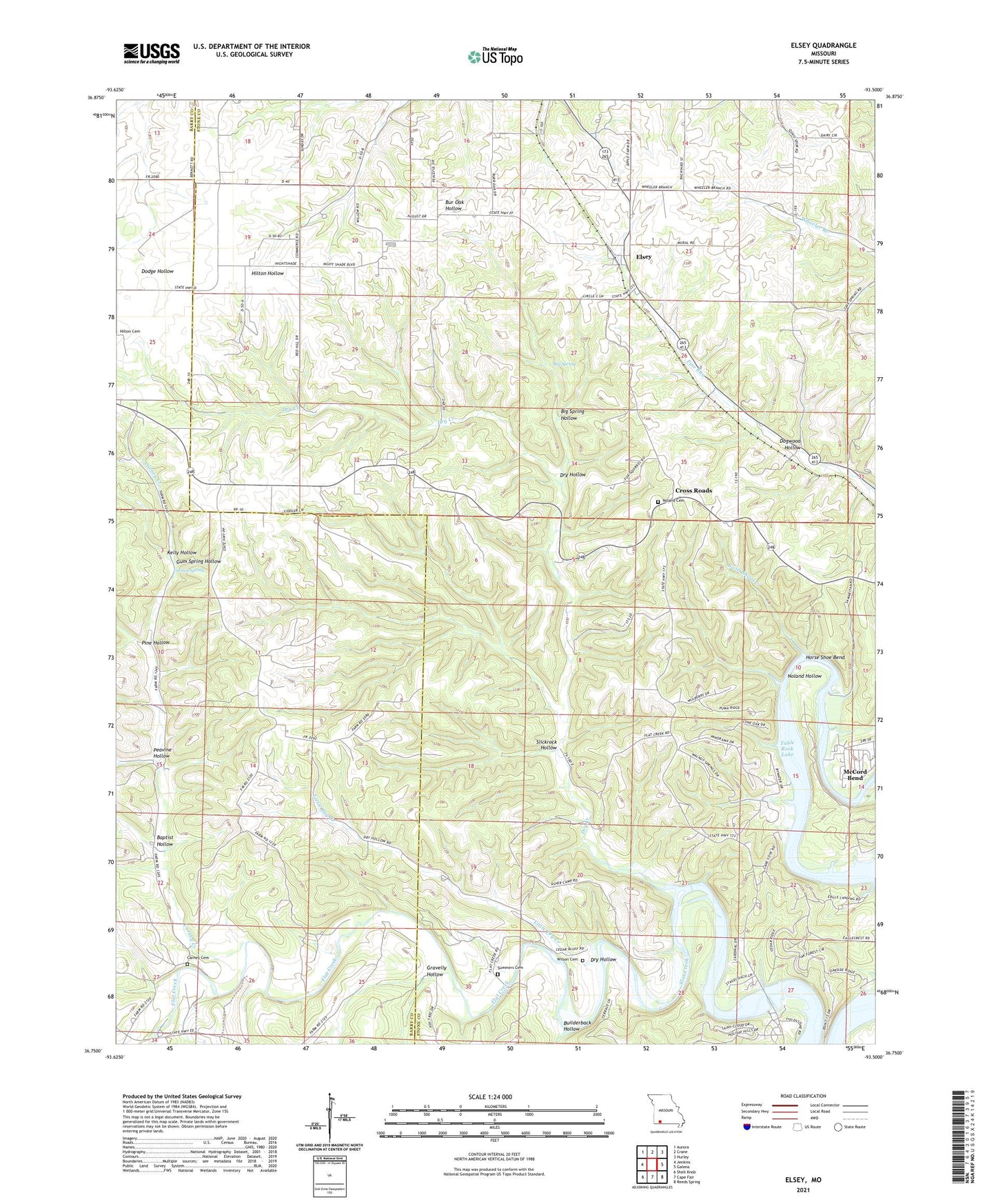
2021 topographic map quadrangle Elsey in the state of Missouri. Scale: 1:24000. Based on the newly updated USGS 7.5' US Topo map series, this map is in the following counties: Stone, Barry. The map contains contour data, water features, and other items you are used to seeing on USGS maps, but also has updated roads and other features. This is the next generation of topographic maps. Printed on high-quality waterproof paper with UV fade-resistant inks.
Quads adjacent to this one:
West: Jenkins
Northwest: Aurora
North: Crane
Northeast: Hurley
East: Galena
Southeast: Reeds Spring
South: Cape Fair
Southwest: Shell Knob
Contains the following named places: Ashcraft Camp, Baptist Hollow, Big Spring, Big Spring Hollow, Bowling Chapel, Builderback Hollow, Caraway Camp, Carney Cemetery, Carney Creek, Carney School, Carney Spring, Cave Springs Church, Cave Springs School, Cedar Bluff School, Center School, Cross Roads, Dogwood Hollow, Doland Church, Doland School, Dry Creek, Dry Hollow, Elsey, Elsey School, Flat Creek, Flat Creek Post Office, Gravelly Hollow, Gum Spring Hollow, Horse Shoe Bend, Kelly Hollow, Little Dry Creek, Lower Flat Creek Public Access, McCord Bend, Mountain Home Church, Noland Cemetery, Noland Hollow, North Stone Northeast Barry County Fire District Station 22, North Stone Northeast Barry County Fire District Station 25, Peavine Hollow, Pine Hollow, Pleasant Hill School, Slickrock Hollow, Summers Cemetery, Swift Shoal Creek, Township of Lincoln, Township of Mountain, Village of McCord Bend, Vine Hill Church, Wilson Cemetery