MyTopo
Gilman City West Missouri US Topo Map
Couldn't load pickup availability
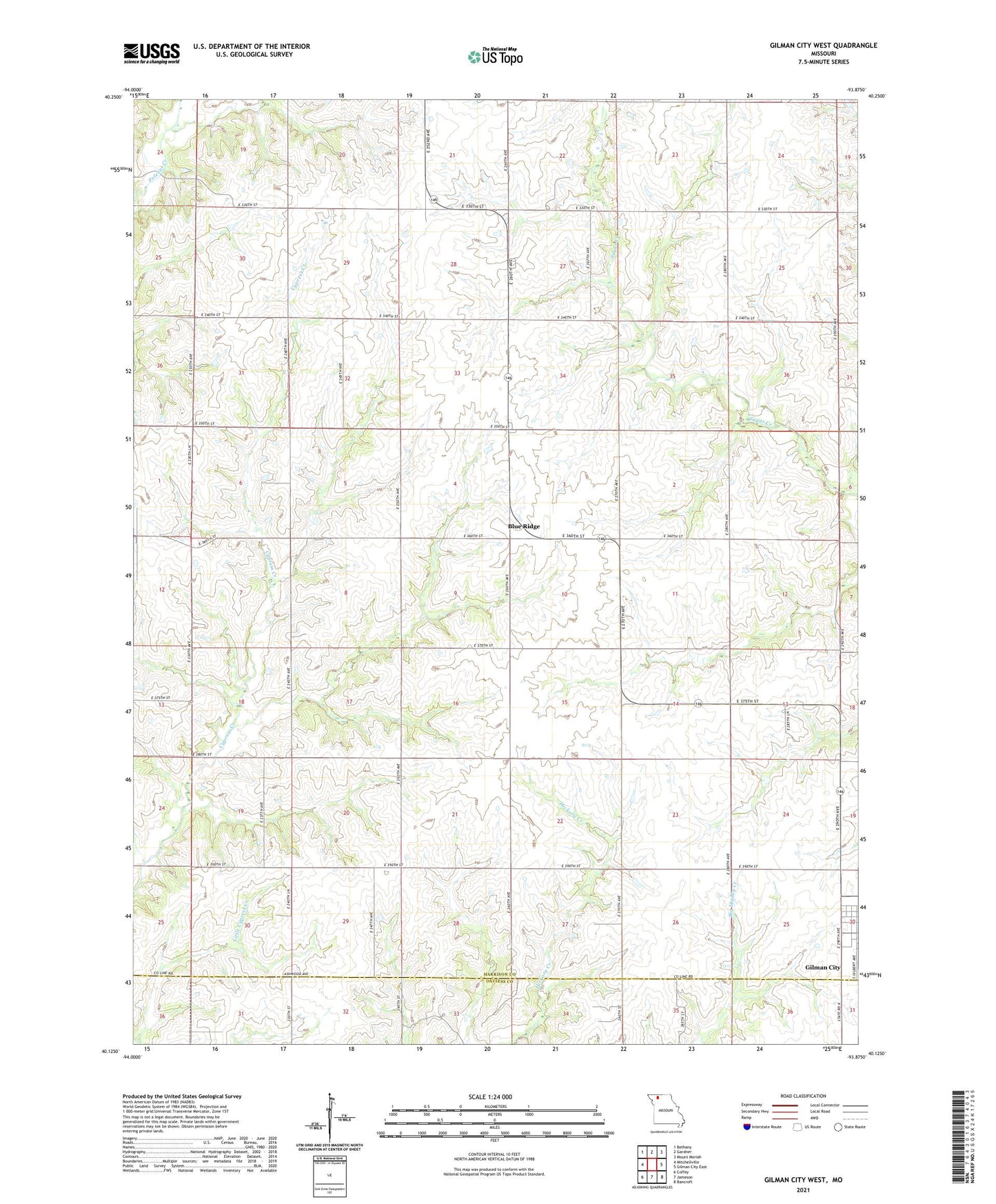
2021 topographic map quadrangle Gilman City West in the state of Missouri. Scale: 1:24000. Based on the newly updated USGS 7.5' US Topo map series, this map is in the following counties: Harrison, Daviess. The map contains contour data, water features, and other items you are used to seeing on USGS maps, but also has updated roads and other features. This is the next generation of topographic maps. Printed on high-quality waterproof paper with UV fade-resistant inks.
Quads adjacent to this one:
West: Mitchellville
Northwest: Bethany
North: Gardner
Northeast: Mount Moriah
East: Gilman City East
Southeast: Bancroft
South: Jameson
Southwest: Coffey
Contains the following named places: Antioch Church, Blue Ridge, Bondurant School, Cypress School, Fairview Church, Ford School, Hazel Dell School, Lincoln School, Meadows Airport, Sherman Center School, Township of Adams, Township of Sherman