MyTopo
Greenville SW Missouri US Topo Map
Couldn't load pickup availability
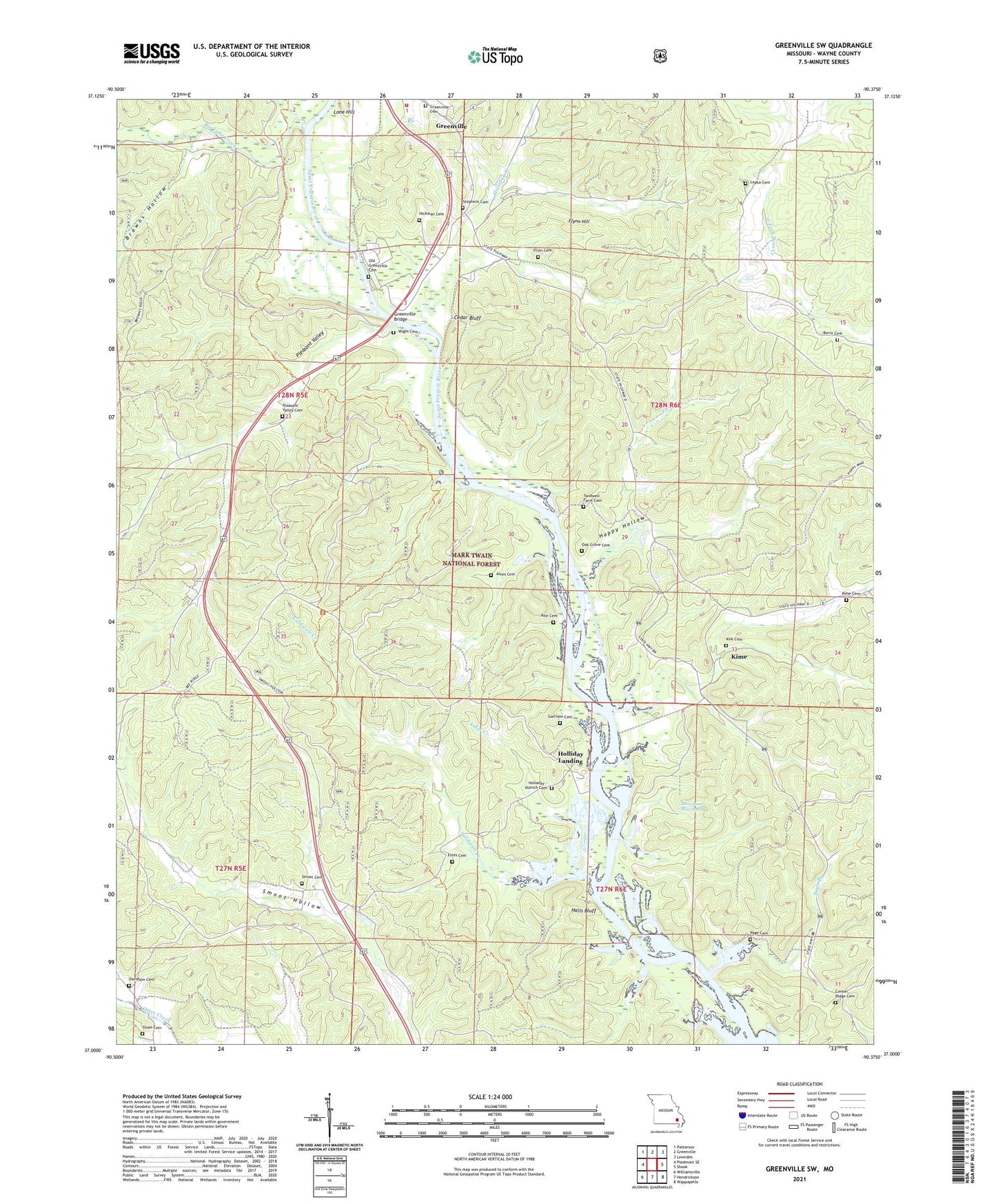
2021 topographic map quadrangle Greenville SW in the state of Missouri. Scale: 1:24000. Based on the newly updated USGS 7.5' US Topo map series, this map is in the following counties: Wayne. The map contains contour data, water features, and other items you are used to seeing on USGS maps, but also has updated roads and other features. This is the next generation of topographic maps. Printed on high-quality waterproof paper with UV fade-resistant inks.
Quads adjacent to this one:
West: Piedmont SE
Northwest: Patterson
North: Greenville
Northeast: Lowndes
East: Shook
Southeast: Wappapello
South: Hendrickson
Southwest: Williamsville
Contains the following named places: Asher Creek, Berry Cemetery, Big Lake Creek, Browns Hollow, C C C Camp, Caldwell Creek, Camp Allen, Cedar Bluff, Center Ridge Cemetery, Center Ridge Church, Center Ridge School, Cut Lookout Tower, Davidson Cemetery, Davidsons Blue Spring, Edwards, Estes Cemetery, Flinn Cemetery, Flynn Hill, Garrison Cemetery, Greenville Bridge, Greenville Cemetery, Halls Bluff, Happy Hollow, Hickman Cemetery, Holliday Creek, Holliday Landing, Johnson Natural Area Backpack Trail, Jones Cemetery, Kime, Kime Church, Kirk Cemetery, Kite Cemetery, Lapka Cemetery, Little Lake Creek, Lone Hill, Lone Rock Church, Lonesome Ridge, Lost Creek Lookout Tower, New Liberty School, Oak Grove Cemetery, Old Greenville, Old Greenville Cemetery, Old Greenville Recreation Area, Page Branch, Page Cemetery, Pleasant Valley, Pleasant Valley Cemetery, Pleasant Valley School, Sawyer, Sloan Cemetery, Smoot Cemetery, Stephens Cemetery, Township of Saint Francois, Twidwell Farm Cemetery, Wayne County, Wayne County Volunteer Fire Protection District, Wight Cemetery