MyTopo
Kearney Missouri US Topo Map
Couldn't load pickup availability
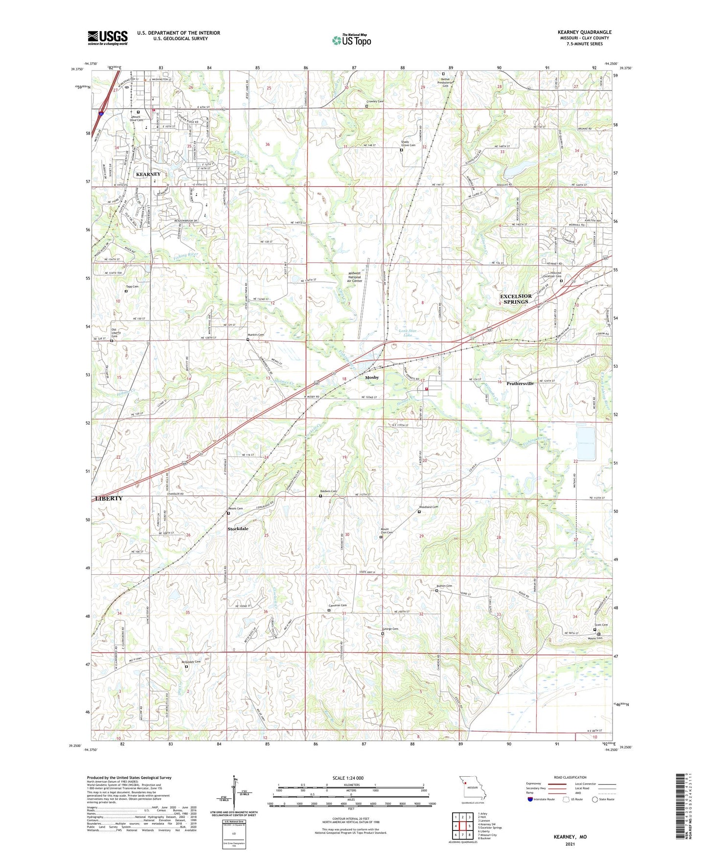
2021 topographic map quadrangle Kearney in the state of Missouri. Scale: 1:24000. Based on the newly updated USGS 7.5' US Topo map series, this map is in the following counties: Clay. The map contains contour data, water features, and other items you are used to seeing on USGS maps, but also has updated roads and other features. This is the next generation of topographic maps. Printed on high-quality waterproof paper with UV fade-resistant inks.
Quads adjacent to this one:
West: Kearney SW
Northwest: Arley
North: Holt
Northeast: Lawson
East: Excelsior Springs
Southeast: Buckner
South: Missouri City
Southwest: Liberty
This map covers the same area as the classic USGS quad with code o39094c3.
Contains the following named places: Baldwin Cemetery, Bethel Presbyterian Cemetery, Buxton Cemetery, Cameron Cemetery, Cameron School, Carroll Creek, Carroll School, City of Kearney, City of Mosby, Clear Creek, Cooley Lake, Crockett Creek, Crowley Cemetery, Estes School, Excelsior Springs Middle School, Farrell School, Fishing River Baptist Church, Fishing River Fire Protection District, George Cemetery, Hillcrest Excelsior Cemetery, Holmes Creek, Jenkins School, Kearney, Kearney Elementary School, Kearney Fire and Rescue Protection District, Kearney High School, Kearney Intermediate School, Kearney Junior High School, Kearney Post Office, Liberty Hills Country Club, Lone Star Lake, Lone Star Lake Dam, Lunsford School, McQuiddy Cemetery, Means Cemetery, Midwest National Air Center, Moore Cemetery, Mosby, Mosby Police Department, Mosby Post Office, Mosby School, Mount Olivet Cemetery, Mount Zion Cemetery, Mount Zion Primitive Baptist Church, Muddy Fork, Munkirs Cemetery, Old Liberty Cemetery, Prathersville, Royal Wood Aerodrome Airport, Scott Cemetery, Shady Grove Cemetery, Shady Grove Church, Southview Elementary School, Stockdale, Summit Ridge School, Tapp Cemetery, Township of Fishing River, Village of Prathersville, Williams Creek, Williams Creek Watershed Dam Number 4, Woodland Cemetery, Woodland School, ZIP Code: 64060


