MyTopo
Maple Grove Missouri US Topo Map
Couldn't load pickup availability
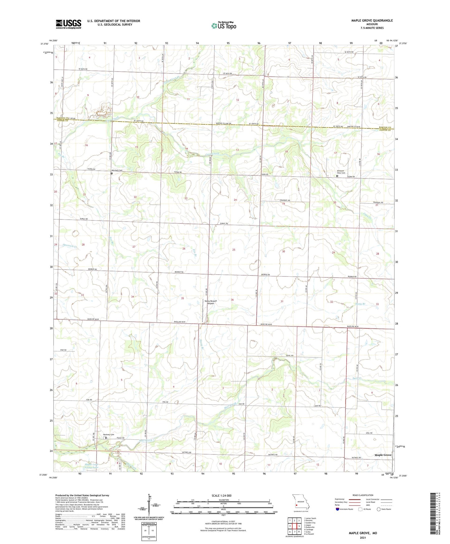
2021 topographic map quadrangle Maple Grove in the state of Missouri. Scale: 1:24000. Based on the newly updated USGS 7.5' US Topo map series, this map is in the following counties: Jasper, Barton. The map contains contour data, water features, and other items you are used to seeing on USGS maps, but also has updated roads and other features. This is the next generation of topographic maps. Printed on high-quality waterproof paper with UV fade-resistant inks.
Quads adjacent to this one:
West: Jasper
Northwest: Lamar South
North: Kenoma
Northeast: Golden City
East: Dudenville
Southeast: La Russell
South: Avilla
Southwest: Carthage
This map covers the same area as the classic USGS quad with code o37094c2.
Contains the following named places: Bloomingdale School, Deer Creek, Deer Creek School, Fox Branch, Grace Church, Hackney Cemetery, Liberty School, Little Coon Creek, Malty, Maple Grove, Maple Lane Farms Lake Dam, Mayflower School, Mitchell Cemetery, Morning Star School, North Star School, Pleasant Valley School, Pleasant View Cemetery, Pleasant View Community Center, Spring Hill School, Stony Branch, Stony Branch Airport, Summit School, Township of Sheridan, Zion Church