MyTopo
Moselle Missouri US Topo Map
Couldn't load pickup availability
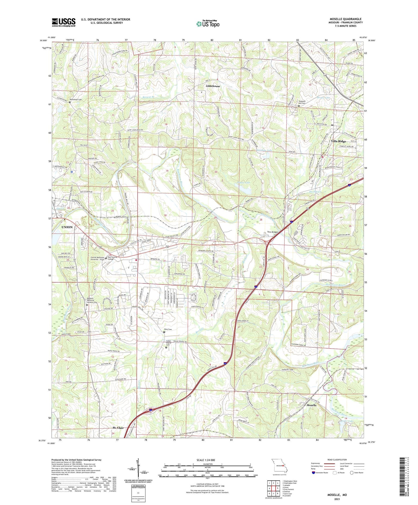
2021 topographic map quadrangle Moselle in the state of Missouri. Scale: 1:24000. Based on the newly updated USGS 7.5' US Topo map series, this map is in the following counties: Franklin. The map contains contour data, water features, and other items you are used to seeing on USGS maps, but also has updated roads and other features. This is the next generation of topographic maps. Printed on high-quality waterproof paper with UV fade-resistant inks.
Quads adjacent to this one:
West: Union
Northwest: Washington West
North: Washington East
Northeast: Labadie
East: Gray Summit
Southeast: Lonedell
South: Saint Clair
Southwest: Stanton
Contains the following named places: AmerenUE Communication Tower, Bethlehem Cemetery, Bethlehem Church, Birch Creek, Boles Fire Protection District Station 3, Bourbeuse River, Brown Lake, Brown Lake Dam, Cedar Lake, Cedar Lake Dam, Central Missionary Baptist Church, Central School, City of Union, Denmark School, Dina, Dina Post Office, East Central College, East Central College Water Tower, Ekey Cemetery, Fenton Creek, First Baptist Church, Fishtrap Ford, Flat Creek, Franklin County Adult Detention Facility, Franklin County Baptist Association Building, Franklin County Sheriff Department Communication Tower, Franklin County Sheriff's Office, Franklin County Water District Number 3 Water Tower, Franklin County Water Tower, Gildehaus School, Gildehouse, Hellings Lakes, Indian Prairie Cemetery, Indian Prairie Church, Indian Prairie School, Kingdom Hall of Jehovah Witness, Lakewood Park Lake, Lakewood Park Lake Dam, Lighthouse Baptist Church, Midlawn Memorial Gardens Cemetery, Moselle, Moselle Missionary Baptist Church, Oak Hill Freewill Baptist Church, Pikes Peak School, Pin Oak Creek, Pinoak Ford, Pleasant Hill Cemetery, Pohlman Mill, Rainbow Lake, Rainbow Lake Dam, Saint John Mercy Medical Building, Saint John the Baptist Catholic Church, Saint John the Baptist School, Saint Marys Church, Saint Marys School, Shawneetown Ford, Spectra Site Communication Tower, Trinity Seventh Day Adventist Church, Twin Bridges, Union Ambulance District House 2, Union Clinic Crider Health Care Center, Union Fire Protection District Station 3, Union Water Storage Tank, Verizon Cellular Phone Tower, Villa Ridge, Villa Ridge Census Designated Place, Villa Ridge Christian Church, Villa Ridge Post Office, Winter Lake, Winter Lake Dam, Wood School, ZIP Code: 63089