MyTopo
Washington East Missouri US Topo Map
Couldn't load pickup availability
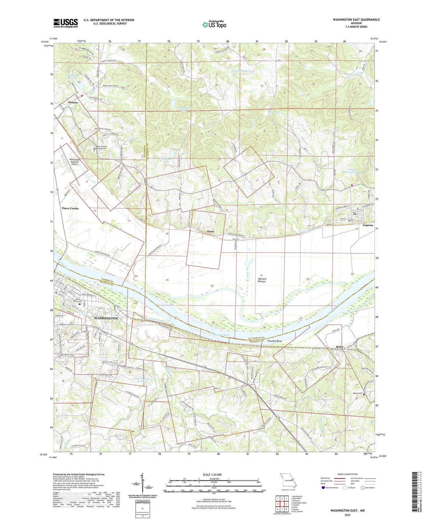
2021 topographic map quadrangle Washington East in the state of Missouri. Scale: 1:24000. Based on the newly updated USGS 7.5' US Topo map series, this map is in the following counties: St. Charles, Franklin, Warren. The map contains contour data, water features, and other items you are used to seeing on USGS maps, but also has updated roads and other features. This is the next generation of topographic maps. Printed on high-quality waterproof paper with UV fade-resistant inks.
Quads adjacent to this one:
West: Washington West
Northwest: Marthasville
North: New Melle
Northeast: Defiance
East: Labadie
Southeast: Gray Summit
South: Moselle
Southwest: Union
This map covers the same area as the classic USGS quad with code o38090e8.
Contains the following named places: Aholt Farms East Lake Lower Dam, Augusta, Augusta Community Fire Company Station 1, Augusta Elementary School, Augusta Post Office, Bair Lake, Bair Lake Dam, Bethel Cemetery, Bethel Methodist Church, Bethel School, Boles, Browns Branch, Busch Creek, Caldwell Franklin County Museum, Charrette Creek, Christ Lutheran Church, Dartmound, Dubois Creek, Dunn Spring Creek, Dutzow, Dutzow Post Office, Dutzow School, Ebenezer United Church of Christ, First United Methodist Church, First United Penecostal Church, Green Valley Farm Dam, Green Valley Farm Pond, Hancock Bottom, Healthsouth Tri-County Surgery Center, Hinckley Bend, Hinnah Lake, Hinnah Lake Dam, Hoblitzell Lake, Hoblitzell Lower Lake Dam, Hoblitzell Upper Lake Dam, Immaculate Conception Church, Jim Bair Dam, John Sprague Reservoir, KWMO 1350 AM, Marthasville Volunteer Fire Department Station 3, Ming School, Mononame 456 Dam, Nona, Poepsel Farm Lake Dam, Point Lavvadie Island, Robert Knoerschild Lake, Robert Schultehenrich Dam, Sadler Lake, Sadler Lake Dam, Saint Charles City - County Library, Saint Johns School, Saint Peters Cemetery, Saint Vincent de Paul Cemetery, Saint Vincent School, Saint Vincents Church, Schulthhenrich Lake, Sehrt Creek, Siem Lake Dam, Soloman Lake Dam, South Point, South Point Elementary School, Sprague Lake Dam, Struckhoff Lake Section 11 Dam, Struckhoffs Dam, Struckhoffs Lake, The Presbyterian Church of Washington, Three Creeks Village, Town of Augusta, Tri-County Baptist Church, Village of Three Creeks, Voelkerding Lake, Voelkerding Lake Dam, Washington Fire Department Station 4, Washington Regional Airport, Willson Lake Dam, ZIP Code: 63332


