MyTopo
Neeper Missouri US Topo Map
Couldn't load pickup availability
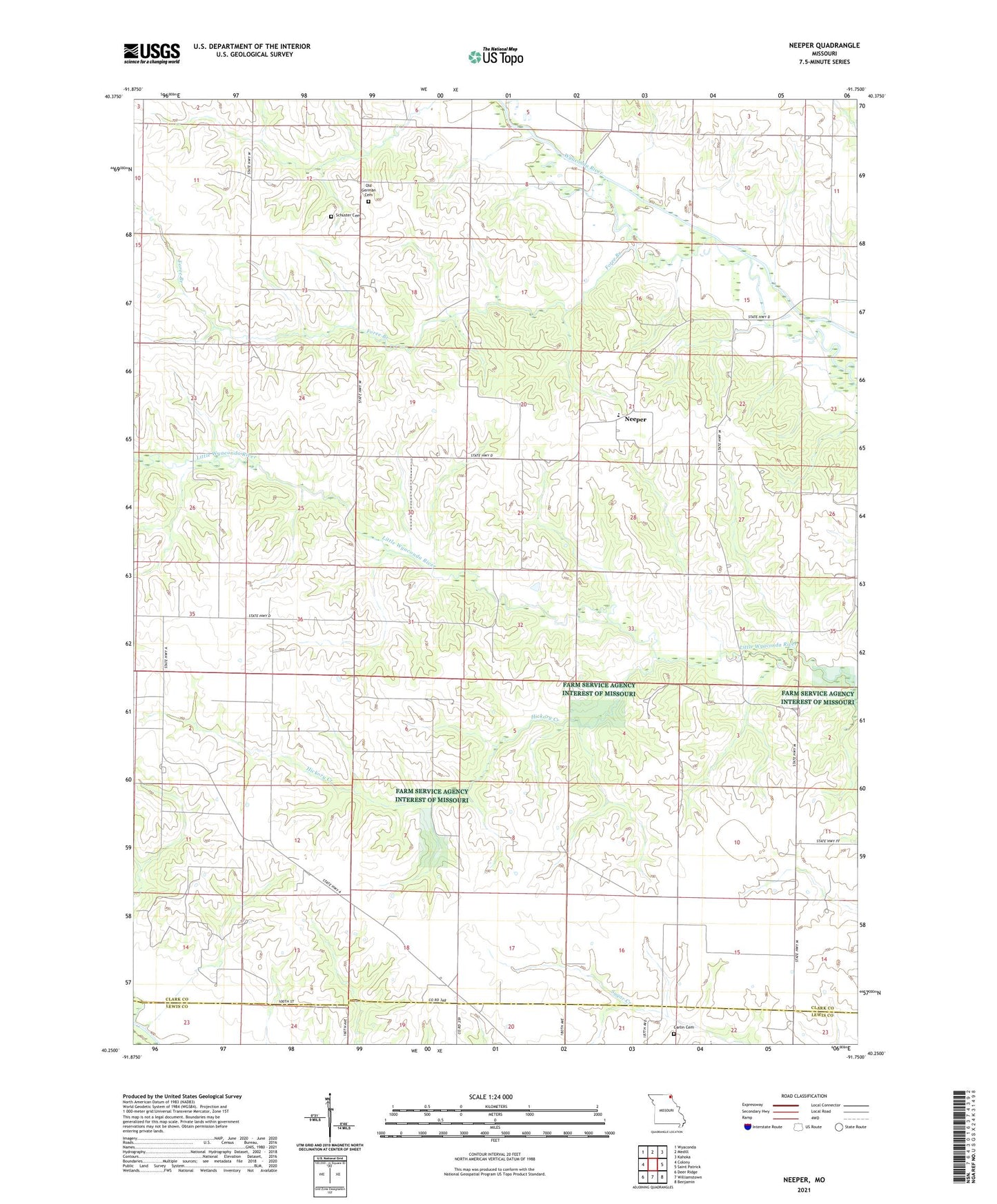
2021 topographic map quadrangle Neeper in the state of Missouri. Scale: 1:24000. Based on the newly updated USGS 7.5' US Topo map series, this map is in the following counties: Clark, Lewis. The map contains contour data, water features, and other items you are used to seeing on USGS maps, but also has updated roads and other features. This is the next generation of topographic maps. Printed on high-quality waterproof paper with UV fade-resistant inks.
Quads adjacent to this one:
West: Colony
Northwest: Wyaconda
North: Medill
Northeast: Kahoka
East: Saint Patrick
Southeast: Benjamin
South: Williamstown
Southwest: Deer Ridge
Contains the following named places: Ballard Church, Ballard School, Bear Creek, Black School, Brewer Lake Dam, Brush College School, Carlin Cemetery, Ebeline Lake Dam, Evans Lake Dam, Fairview School, Fishback Lake Dam, Foree Branch, Hickory Creek, Liberty School, Mount Tabor School, Neeper, Nichols School, Old German Cemetery, Pleasant Hill School, Schuster Cemetery, Steinmann Lake Dam, Township of Union, Union, Union School, Wells School