MyTopo
Pershing Missouri US Topo Map
Couldn't load pickup availability
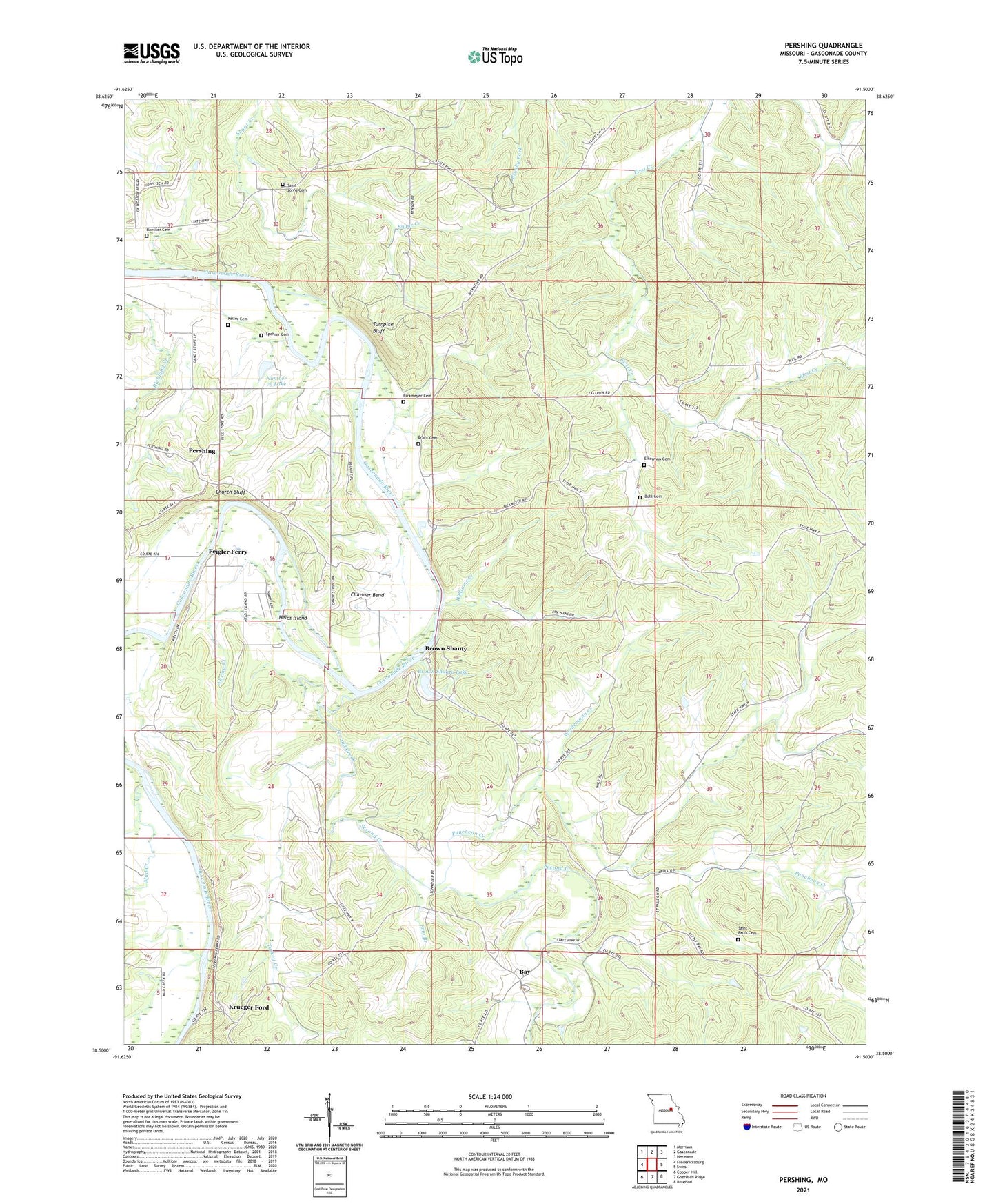
2021 topographic map quadrangle Pershing in the state of Missouri. Scale: 1:24000. Based on the newly updated USGS 7.5' US Topo map series, this map is in the following counties: Gasconade. The map contains contour data, water features, and other items you are used to seeing on USGS maps, but also has updated roads and other features. This is the next generation of topographic maps. Printed on high-quality waterproof paper with UV fade-resistant inks.
Quads adjacent to this one:
West: Fredericksburg
Northwest: Morrison
North: Gasconade
Northeast: Hermann
East: Swiss
Southeast: Rosebud
South: Goerlisch Ridge
Southwest: Cooper Hill
Contains the following named places: Ahring Creek, Baecker Cemetery, Bay, Bethel Church, Bickmeyer Cemetery, Bohl Cemetery, Brant Cemetery, Brown Shanty, Brown Shanty Ferry, Brown Shanty Lake, Brown Shanty Lake Dam, Church Bluff, Clausner Bend, Eikerman Cemetery, Emo Branch, Feigler Ferry, Harring Lake Dam, Helds Island, Helds Island Public Access, Hoppe School, Keller Cemetery, Krueger Ford, Lost Hill School, Miller Farm Airport, Mud Creek, Number 75 Lake, Pershing, Pershing Farms Dam, Puncheon Creek, Saint Johns Church, Saint Pauls Cemetery, Saint Pauls Church, Second Creek, Spohrer Cemetery, Stoenner School, Stolpe School, Township of Boulware, Turkey Creek, Turnpike Bluff, Upper First Creek School, Weidemann Creek, Weidemann School, Williams Creek