MyTopo
Shelby Missouri US Topo Map
Couldn't load pickup availability
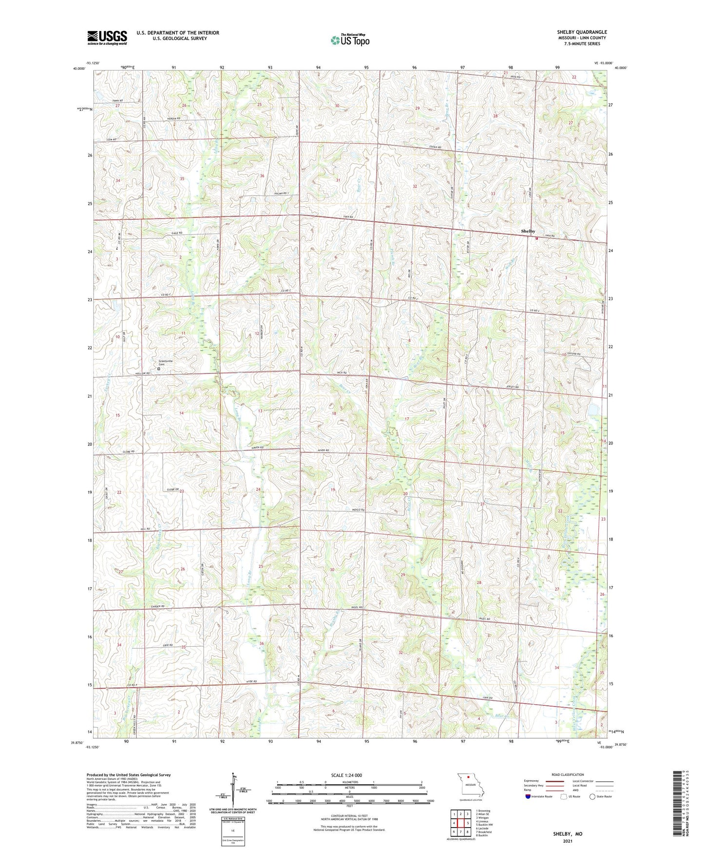
2021 topographic map quadrangle Shelby in the state of Missouri. Scale: 1:24000. Based on the newly updated USGS 7.5' US Topo map series, this map is in the following counties: Linn. The map contains contour data, water features, and other items you are used to seeing on USGS maps, but also has updated roads and other features. This is the next generation of topographic maps. Printed on high-quality waterproof paper with UV fade-resistant inks.
Quads adjacent to this one:
West: Linneus
Northwest: Browning
North: Milan SE
Northeast: Winigan
East: Bucklin NW
Southeast: Bucklin
South: Brookfield
Southwest: Laclede
Contains the following named places: Bear Branch, Bear Branch Church, Brushy Branch, Grantsville, Grantsville Cemetery, Grantsville School, Grove Hill Church, Grove Hill School, Leverton, Leverton Post Office, Nevins School, North Eagle School, Pleasant Grove Church, Plumb Branch, Prairie Seminary School, R E Rowland Lake, Sager Lake Dam, Shelby, Shelby Community Rural Fire Department, Township of Grantsville, Willowvale School, Wolf Branch, Woodside School