MyTopo
Spruce Missouri US Topo Map
Couldn't load pickup availability
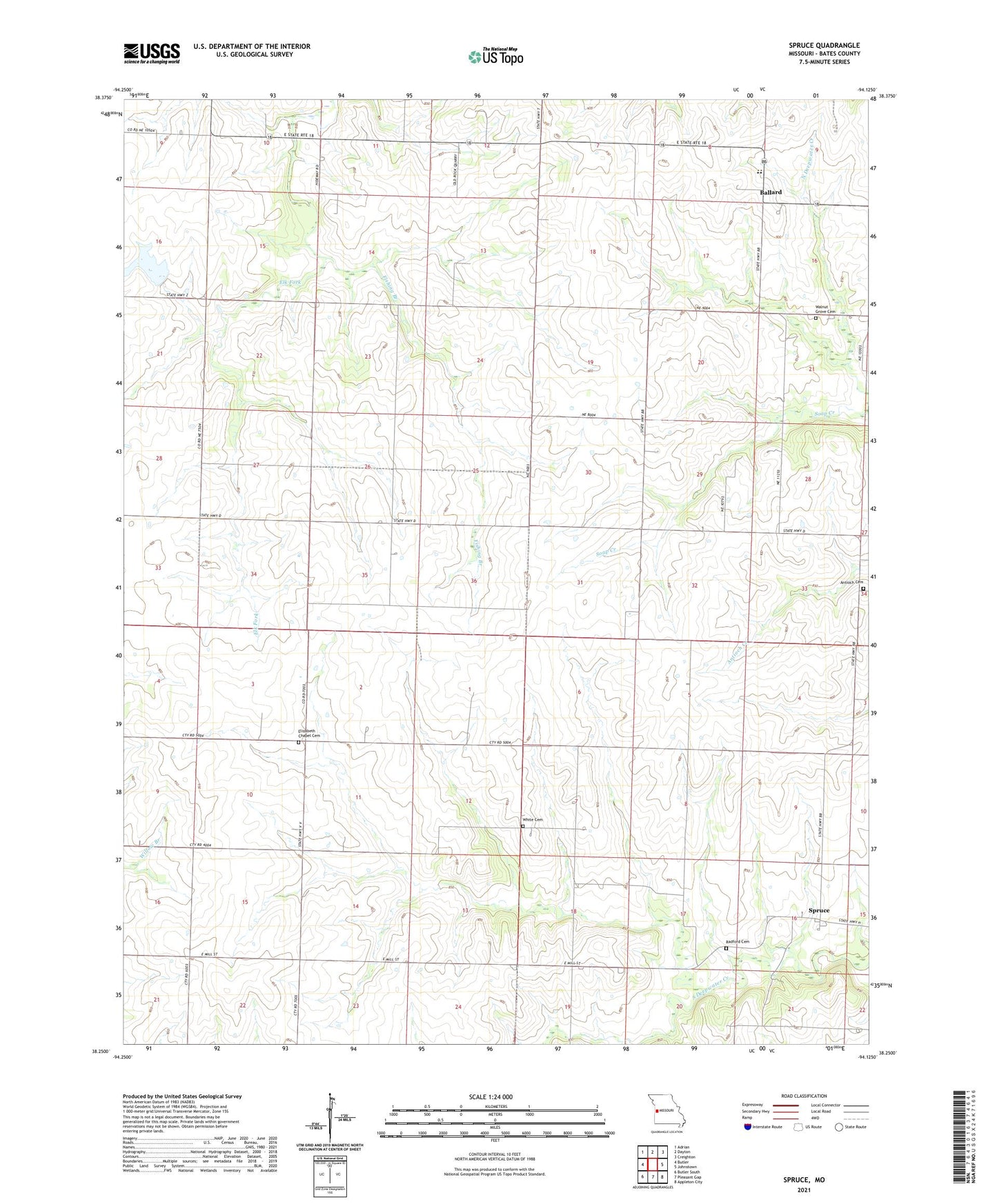
2021 topographic map quadrangle Spruce in the state of Missouri. Scale: 1:24000. Based on the newly updated USGS 7.5' US Topo map series, this map is in the following counties: Bates. The map contains contour data, water features, and other items you are used to seeing on USGS maps, but also has updated roads and other features. This is the next generation of topographic maps. Printed on high-quality waterproof paper with UV fade-resistant inks.
Quads adjacent to this one:
West: Butler
Northwest: Adrian
North: Dayton
Northeast: Creighton
East: Johnstown
Southeast: Appleton City
South: Pleasant Gap
Southwest: Butler South
Contains the following named places: Antioch Cemetery, Ballard, Ballard Elementary School, Ballard High School, Bethel Church, Cherry Grove School, Culver, Elizabeth Chapel Cemetery, Fairview Church, Fishing Branch, Griggs School, Harmony School, Olive School, Radford Cemetery, Redmond School, Spruce, Straight Branch, Summit School, Township of Deepwater, Township of Shawnee, Township of Spruce, Township of Summit, Valley School, Walnut Grove Cemetery, Walnut Grove Church, White Cemetery