MyTopo
Stanley Missouri US Topo Map
Couldn't load pickup availability
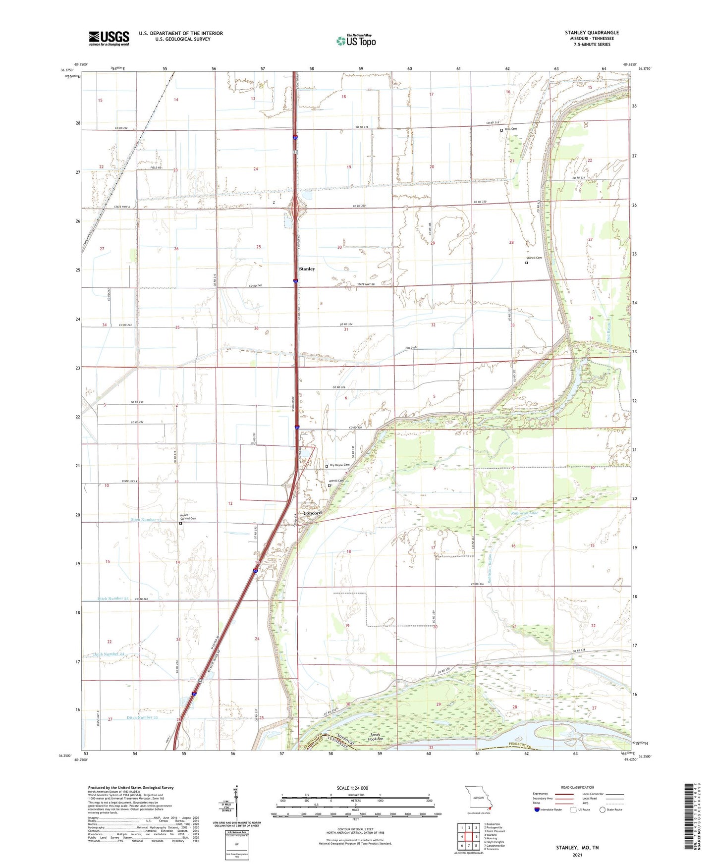
2021 topographic map quadrangle Stanley in the state of Missouri. Scale: 1:24000. Based on the newly updated USGS 7.5' US Topo map series, this map is in the following counties: Pemiscot, Lake. The map contains contour data, water features, and other items you are used to seeing on USGS maps, but also has updated roads and other features. This is the next generation of topographic maps. Printed on high-quality waterproof paper with UV fade-resistant inks.
Quads adjacent to this one:
West: Wardell
Northwest: Boekerton
North: Portageville
Northeast: Point Pleasant
East: Mooring
Southeast: Tennemo
South: Caruthersville
Southwest: Hayti Heights
Contains the following named places: Apostolic Church, Averill Cemetery, Bethlehem Church, Big Lake, Black Island Church, Black Island School, Brent, Brinkerhoff, Bush Church, Clover Hill Church, Concord, Concord Church, Concord School, Consolidated School District 4, Darnell School, Ditch Number 23, Ditch Number 24, Ditch Number 25, Dry Bayou, Dry Bayou Cemetery, Dry Bayou Church, Dry Bayou School, Fisher Church, Fisher School, Gayoso, Glass Memorial Church, Mount Carmel Church, Mud Bayou, North Pemiscot Junior High School, North Pemiscot School, Pleasant Grove Church, Robinson Bayou, Robinson Lake, Ross Cemetery, Sandy Hook Bar, Stancil, Stancil Bayou, Stancil Cemetery, Stanley, Stanley Church, Stanley School, Township of Concord, Township of Godair, Wolf Bayou, ZIP Code: 63851