MyTopo
Strain Missouri US Topo Map
Couldn't load pickup availability
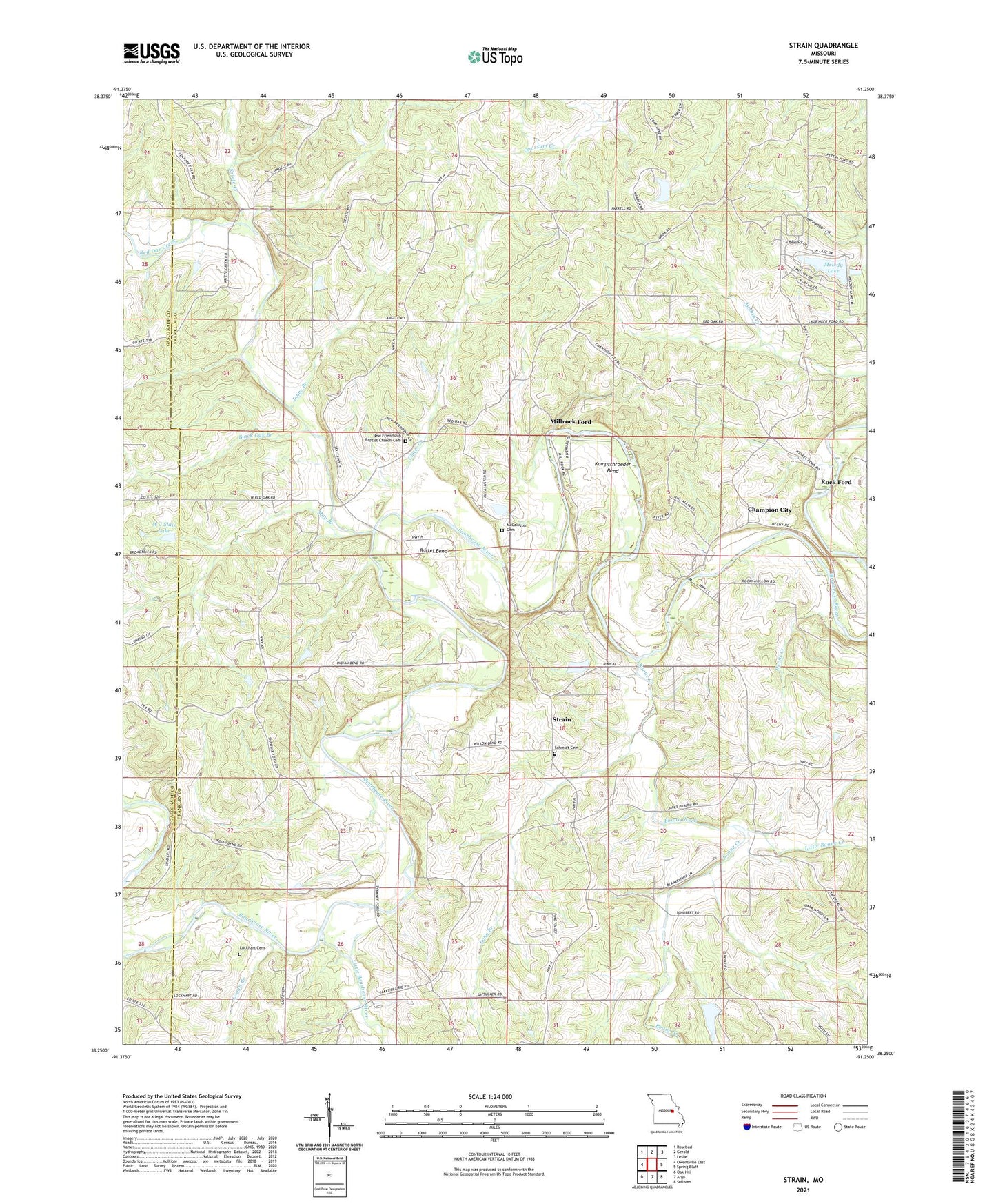
2021 topographic map quadrangle Strain in the state of Missouri. Scale: 1:24000. Based on the newly updated USGS 7.5' US Topo map series, this map is in the following counties: Franklin, Gasconade. The map contains contour data, water features, and other items you are used to seeing on USGS maps, but also has updated roads and other features. This is the next generation of topographic maps. Printed on high-quality waterproof paper with UV fade-resistant inks.
Quads adjacent to this one:
West: Owensville East
Northwest: Rosebud
North: Gerald
Northeast: Leslie
East: Spring Bluff
Southeast: Sullivan
South: Argo
Southwest: Oak Hill
Contains the following named places: Alvina Koelling Lake, Bartel Bend, Berndsen Lake Dam, Black Oak Branch, Boone, Boone Creek, Champion City, Champion City Church, Champion School, Clates Creek, Dutch Hill Church, Evergreen School, Flaker Lake Dam, Hecht Creek, Herman Huelhorst Reservoir, Horse Shoe Lake Dam, Japan School, Johns Branch, Kampschroeder Bend, Koelling Lake Dam, Kriete Creek, Little Boone Creek, Little Bourbeuse River, Lockhart Cemetery, Logan Branch, Long Branch, Marie Otte Dam, Marie Otte Reservoir, May Branch, McCallister Cemetery, Melody Lake, Melody Lake Dam, Miller School, Millrock Ford, New Friendship Baptist Church Cemetery, New Friendship Church, Old Grove School, Oscar F Juergens Dam, Oscar F Juergons Lake, Pentecost Church, Red Oak Creek, Rineck School, Rock Ford, Ruwwe School, Schmidt Cemetery, School Number 16, Strain, Township of Boone, Triple Lakes, Trulaske Lake Section 25 Dam, Trulaske Lake Section 32 Dam, Trulaske Lake Section 33 Dam, W J Slais Dam, W J Slais Lake, Walbert, Walbert School, Wilson Lake Dam