MyTopo
Swiss Missouri US Topo Map
Couldn't load pickup availability
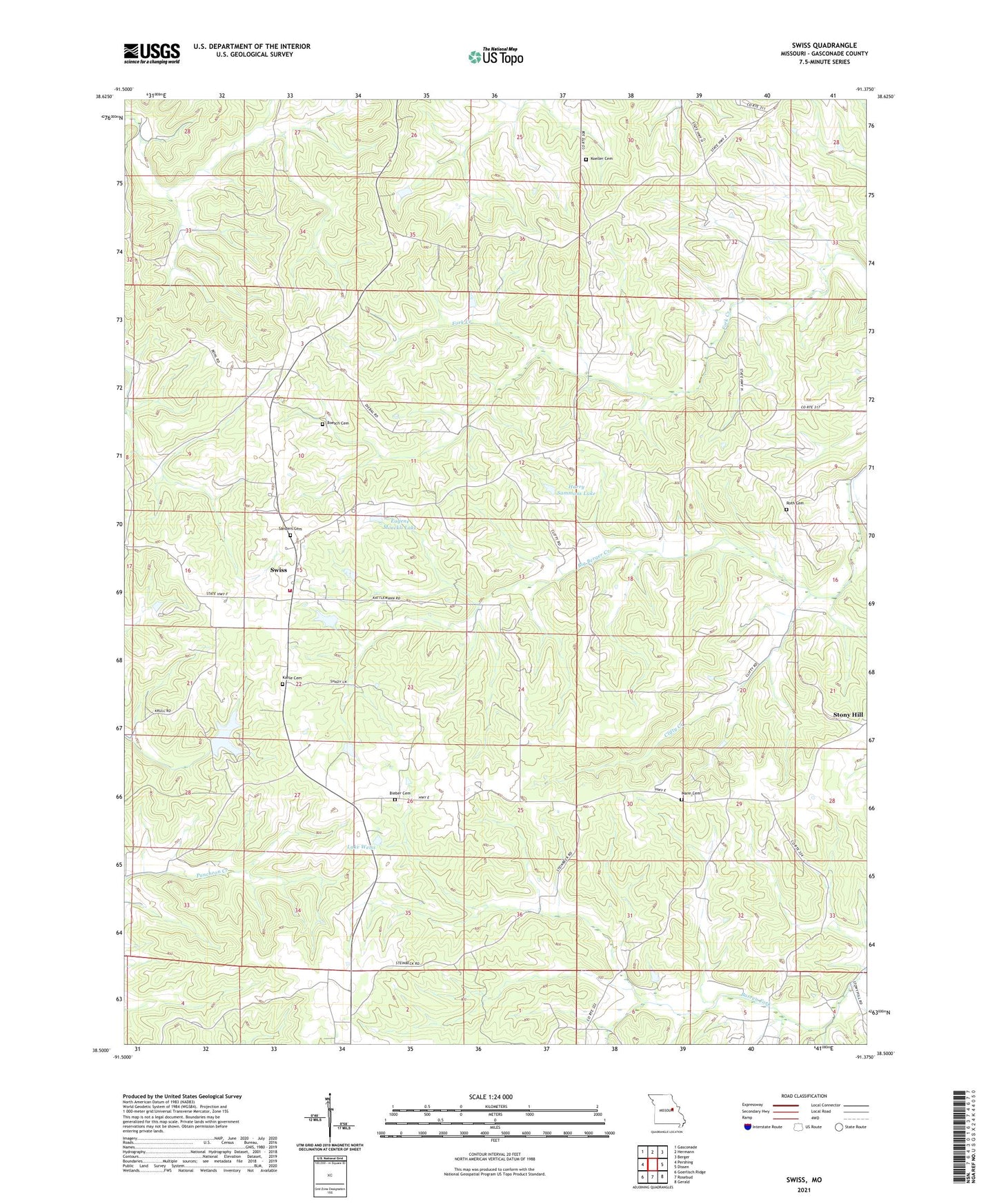
2021 topographic map quadrangle Swiss in the state of Missouri. Scale: 1:24000. Based on the newly updated USGS 7.5' US Topo map series, this map is in the following counties: Gasconade. The map contains contour data, water features, and other items you are used to seeing on USGS maps, but also has updated roads and other features. This is the next generation of topographic maps. Printed on high-quality waterproof paper with UV fade-resistant inks.
Quads adjacent to this one:
West: Pershing
Northwest: Gasconade
North: Hermann
Northeast: Berger
East: Dissen
Southeast: Gerald
South: Rosebud
Southwest: Goerlisch Ridge
Contains the following named places: Bieber Cemetery, Boesch Cemetery, Boggs Lake, Busch Lake Dam, Calico Branch, Carawood Lake, Clifty Creek, Drake Lookout Tower, Eugene Moeckli Lake, Fricke Lake Dam, Garofalo Lake Dam, Godefroid Lake Dam, Harry Sammons Lake, Hermann Fire Company 1 Station 3, Kahle Cemetery, Koeller Cemetery, Laboube Lake Dam, Lake Carawood Dam, Lake Weiss, Lazy S Lake, Lee Gade Dam, Little Berger, Little Berger Post Office, Mann Cemetery, Peace Hill School, Richwood School, Roth Cemetery, Roth School, Saint Johns Church, Sammons Lake Dam, Sanders Cemetery, Schneider Lake Lower Dam, Schneider Lake Upper Dam, Swiss, Swiss Lake Estates Dam, Swiss School, Township of Boeuf, Weiss Lake Dam, Williman School