MyTopo
Viola Missouri US Topo Map
Couldn't load pickup availability
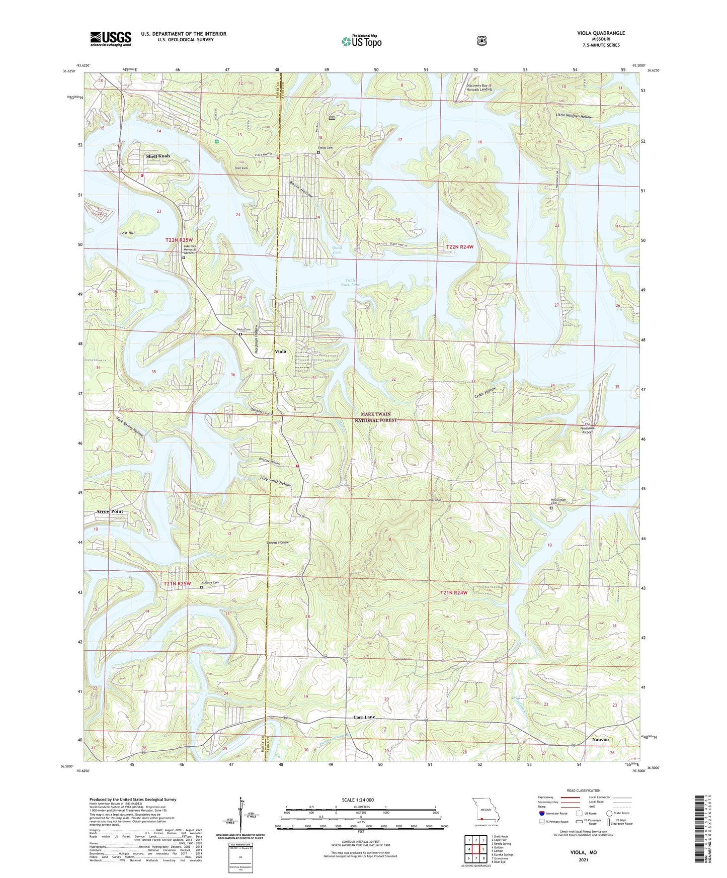
2021 topographic map quadrangle Viola in the state of Missouri. Scale: 1:24000. Based on the newly updated USGS 7.5' US Topo map series, this map is in the following counties: Stone, Barry. The map contains contour data, water features, and other items you are used to seeing on USGS maps, but also has updated roads and other features. This is the next generation of topographic maps. Printed on high-quality waterproof paper with UV fade-resistant inks.
Quads adjacent to this one:
West: Golden
Northwest: Shell Knob
North: Cape Fair
Northeast: Reeds Spring
East: Lampe
Southeast: Blue Eye
South: Grandview
Southwest: Eureka Springs
Contains the following named places: Allen Ford, Arnold Ford, Arrow Point, Basin Hollow, Baxter Public Use Area, Beasley Ford, Big Bay, Big Bay Public Use Area, Big Creek Ford, Big Indian Public Use Area, Bristow Hollow, Campbell Point Public Use Area, Carr Lane, Carr Lane Church, Carr Lane Suboffice, Carr School, Carters Bottom, Cassville Ranger District, Cedar Hollow, Center Prong Mill Creek, Central Crossing Fire Protection District Station, Central Crossing Fire Protection District Station 2, Central Crossing Fire Protection District Station 4, Discovery Bay at Norwalk Landing, East Prong Mill Creek, Field School, Fields Cemetery, Gamblers Gulch, Greens Hollow, Hardman Hollow, Hendrickson School, Indian Creek, Indian Creek Ford, Kings River, Kings River Golf Course, Kings River Public Use Area, Lawrence Ford, Leonard Cemetery, Lost Hill, Lucy Smith Hollow, McCandles School, McCullough Church, McCullough School, McGuire Cemetery, McGuire School, Mill Creek, Nauvoo, Nauvoo School, Owens School, Perkins Hollow, Pilot Knob, Prentiss Ford, Quail Cove, Ray Ford, Rock Spring Hollow, Schreiner Ferry, Shell Knob, Shell Knob Campground, Shell Knob Census Designated Place, Sweetwater Creek, The Peninsula Airport, Township of Williams, Village of Arrow Point, Viola, Viola Cemetery, Viola Ford, Viola Public Use Area, Viola School, ZIP Code: 65747