MyTopo
Antelope Coulee SE Montana US Topo Map
Couldn't load pickup availability
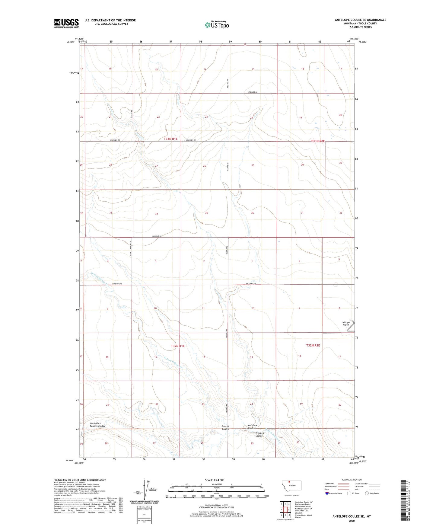
2024 topographic map quadrangle Antelope Coulee SE in the state of Montana. Scale: 1:24000. Based on the newly updated USGS 7.5' US Topo map series, this map is in the following counties: Toole. The map contains contour data, water features, and other items you are used to seeing on USGS maps, but also has updated roads and other features. This is the next generation of topographic maps. Printed on high-quality waterproof paper with UV fade-resistant inks.
Quads adjacent to this one:
West: Antelope Coulee SW
Northwest: Antelope Coulee NW
North: Johannson Coulee
Northeast: Hawthorne School
East: McCarters Lake
Southeast: Devon
South: South Devon School
Southwest: Dunkirk
This map covers the same area as the classic USGS quad with code o48111e5.
Contains the following named places: Antelope Coulee, Bennett Ranch, Cloakus Dam, Crooked Coulee, Crooked Man Dam, Dunkirk Coulee, North Fork Dunkirk Coulee