MyTopo
South Devon School Montana US Topo Map
Couldn't load pickup availability
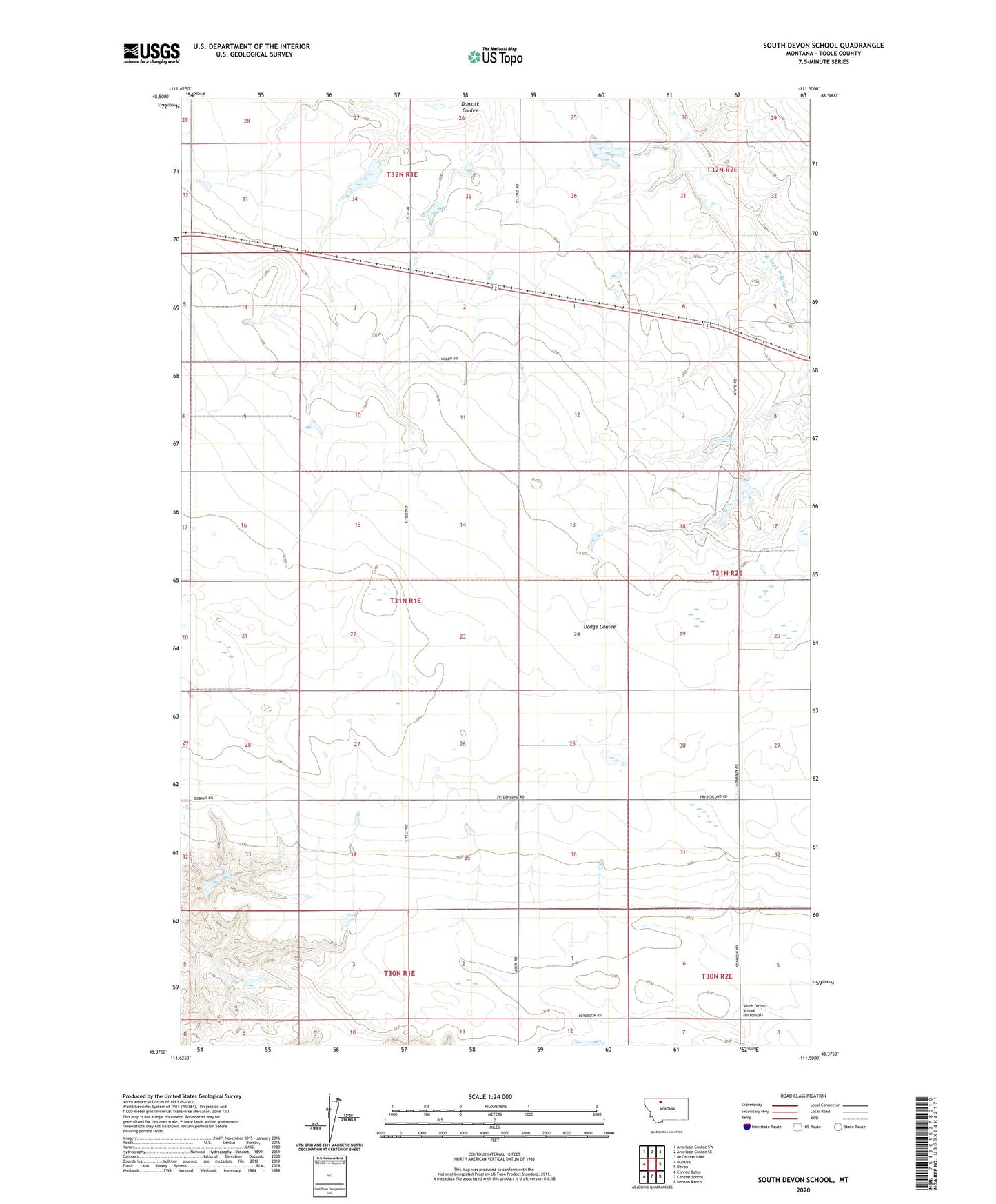
2024 topographic map quadrangle South Devon School in the state of Montana. Scale: 1:24000. Based on the newly updated USGS 7.5' US Topo map series, this map is in the following counties: Toole. The map contains contour data, water features, and other items you are used to seeing on USGS maps, but also has updated roads and other features. This is the next generation of topographic maps. Printed on high-quality waterproof paper with UV fade-resistant inks.
Quads adjacent to this one:
West: Dunkirk
Northwest: Antelope Coulee SW
North: Antelope Coulee SE
Northeast: McCarters Lake
East: Devon
Southeast: Denson Ranch
South: Central School
Southwest: Conrad Butte
This map covers the same area as the classic USGS quad with code o48111d5.
Contains the following named places: Athlone, Bar Z F Ranch Incorporated Number 1 Dam, Johnson Dam, Sagittaurius Dam, South Devon School, Telstad, Telstad Post Office, Telstad Pumping Station, Three Dollar Bill Dam, Westermark Dam, White Dam