MyTopo
Ash Creek East Montana US Topo Map
Couldn't load pickup availability
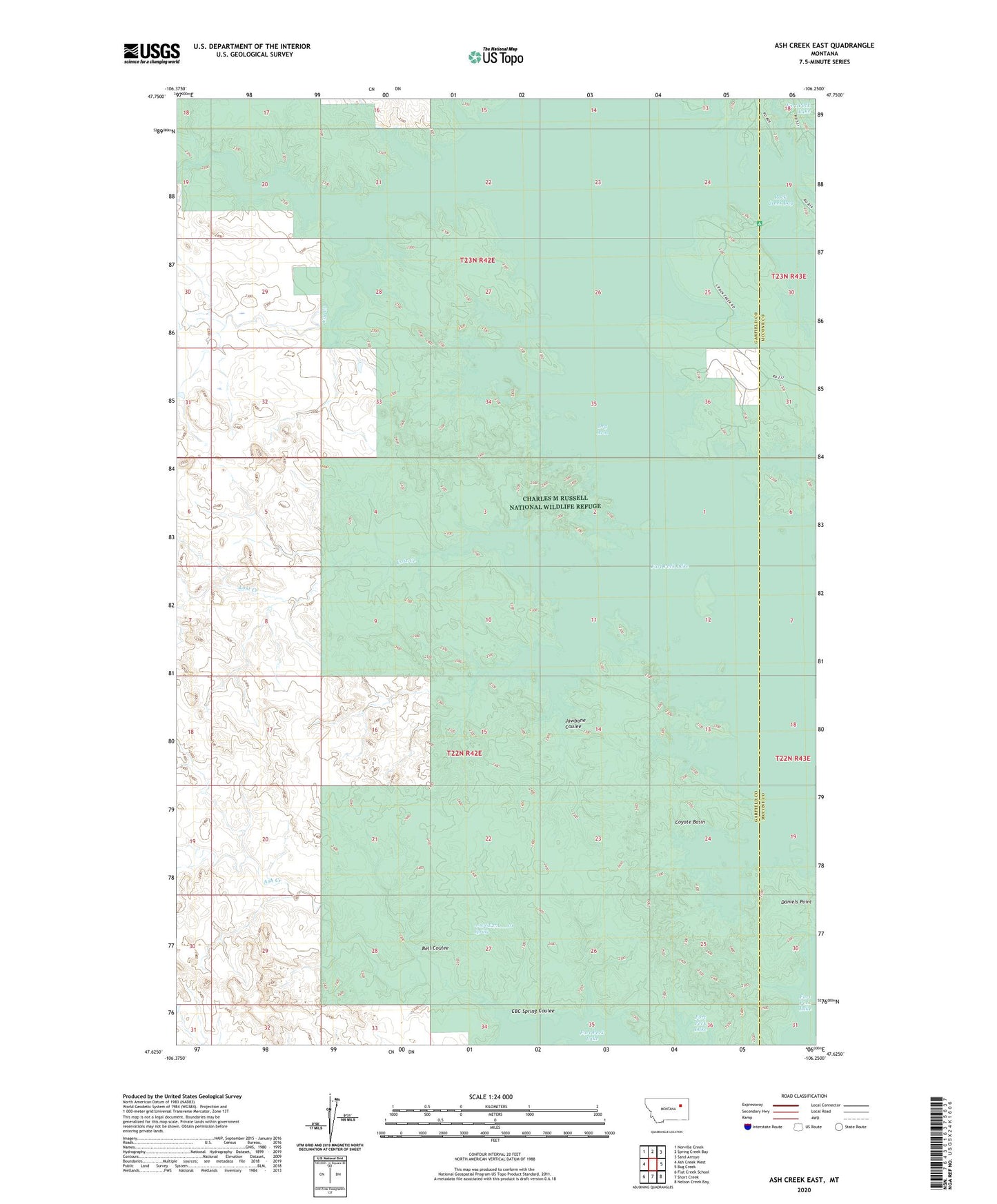
2020 topographic map quadrangle Ash Creek East in the state of Montana. Scale: 1:24000. Based on the newly updated USGS 7.5' US Topo map series, this map is in the following counties: Garfield, McCone. The map contains contour data, water features, and other items you are used to seeing on USGS maps, but also has updated roads and other features. This is the next generation of topographic maps. Printed on high-quality waterproof paper with UV fade-resistant inks.
Quads adjacent to this one:
West: Ash Creek West
Northwest: Norville Creek
North: Spring Creek Bay
Northeast: Sand Arroyo
East: Bug Creek
Southeast: Nelson Creek Bay
South: Short Creek
Southwest: Flat Creek School
Contains the following named places: 22N42E27A___01 Spring, 22N42E27C___01 Well, 23N42E13DCAD01 Well, 23N42E32B___01 Well, Ash Creek, Bell Coulee, Cat Creek, CBC Spring Coulee, CM Russell Dam, Coyote Basin, Jawbone Coulee, Lost Creek, North Fork Box Creek, Norvella Post Office, Rock Creek Bay, South Fork Box Creek