MyTopo
Norville Creek Montana US Topo Map
Couldn't load pickup availability
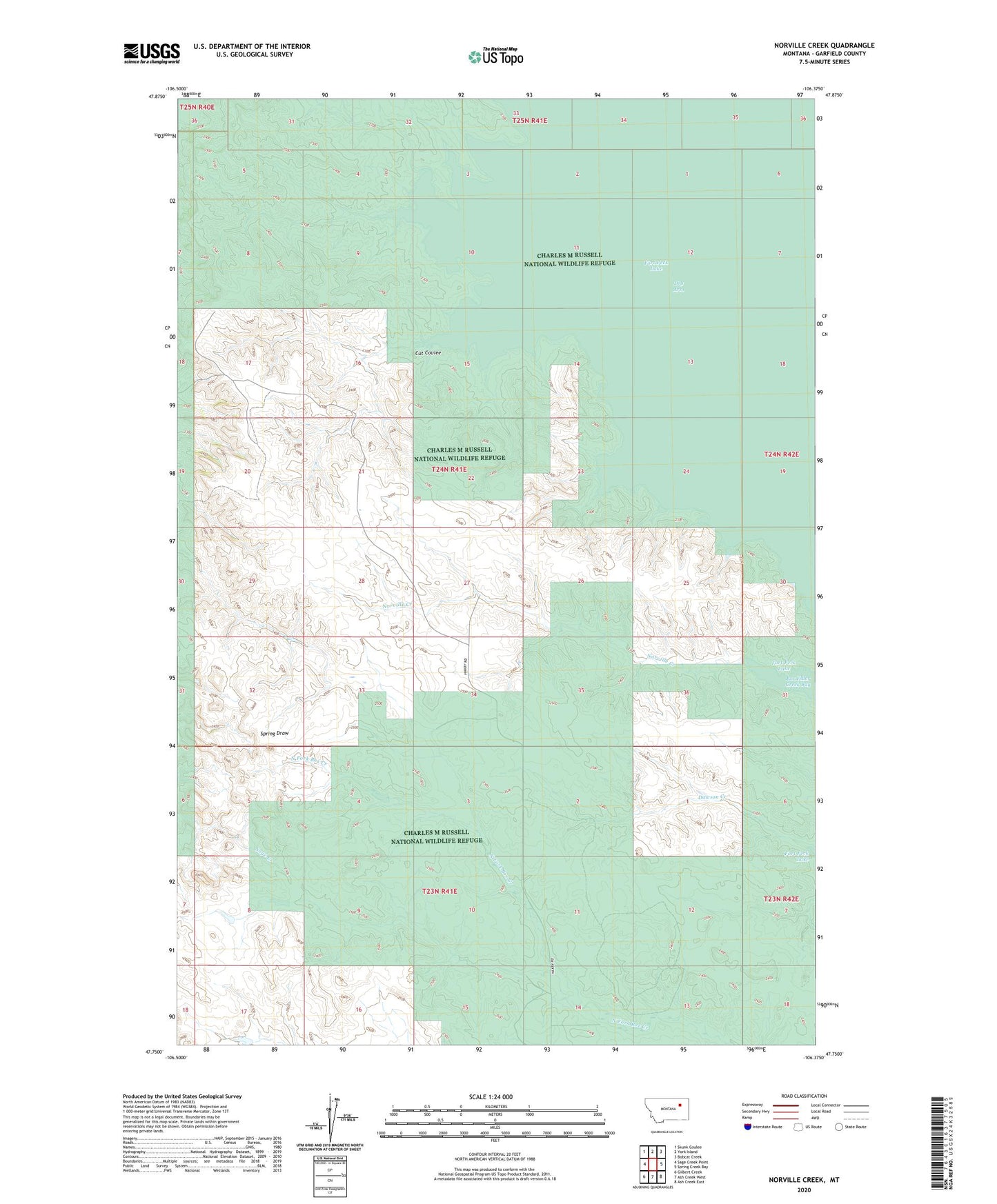
2024 topographic map quadrangle Norville Creek in the state of Montana. Scale: 1:24000. Based on the newly updated USGS 7.5' US Topo map series, this map is in the following counties: Garfield. The map contains contour data, water features, and other items you are used to seeing on USGS maps, but also has updated roads and other features. This is the next generation of topographic maps. Printed on high-quality waterproof paper with UV fade-resistant inks.
Quads adjacent to this one:
West: Sage Creek Point
Northwest: Skunk Coulee
North: York Island
Northeast: Bobcat Creek
East: Spring Creek Bay
Southeast: Ash Creek East
South: Ash Creek West
Southwest: Gilbert Creek
This map covers the same area as the classic USGS quad with code o47106g4.
Contains the following named places: 23N41E04DC__01 Well, 23N41E14A___01 Well, 24N41E27A___01 Well, 24N41E34C___01 Well, Cut Coulee, Dawson Creek, Harold Number 1 Dam, Haxby, Haxby Post Office, Haxby School, Hoolie Airport, Norville Creek