MyTopo
Barney Pinnacle Montana US Topo Map
Couldn't load pickup availability
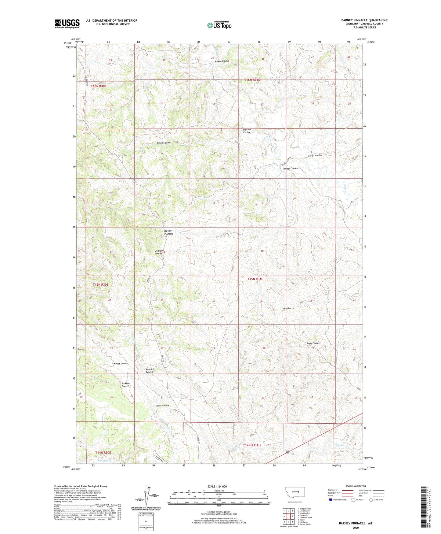
2020 topographic map quadrangle Barney Pinnacle in the state of Montana. Scale: 1:24000. Based on the newly updated USGS 7.5' US Topo map series, this map is in the following counties: Garfield. The map contains contour data, water features, and other items you are used to seeing on USGS maps, but also has updated roads and other features. This is the next generation of topographic maps. Printed on high-quality waterproof paper with UV fade-resistant inks.
Quads adjacent to this one:
West: Fail Ranch
Northwest: Bridge Coulee
North: Lelig Coulee
Northeast: Searl Coulee
East: Froehlich Butte
Southeast: Dutton Ranch
South: Hill Ranch
Southwest: Mosby
Contains the following named places: Barkdoll Coulee, Barney Pinnacle, Bowen Coulee, Daves Coulee, Eaton Coulee, Matovich Airport, Matovich Ranch, Nordahl Coulee, Peterson Ranch, Script Coulee, Twin Butte, Wagga Coulee