MyTopo
Battle Mountain Montana US Topo Map
Couldn't load pickup availability
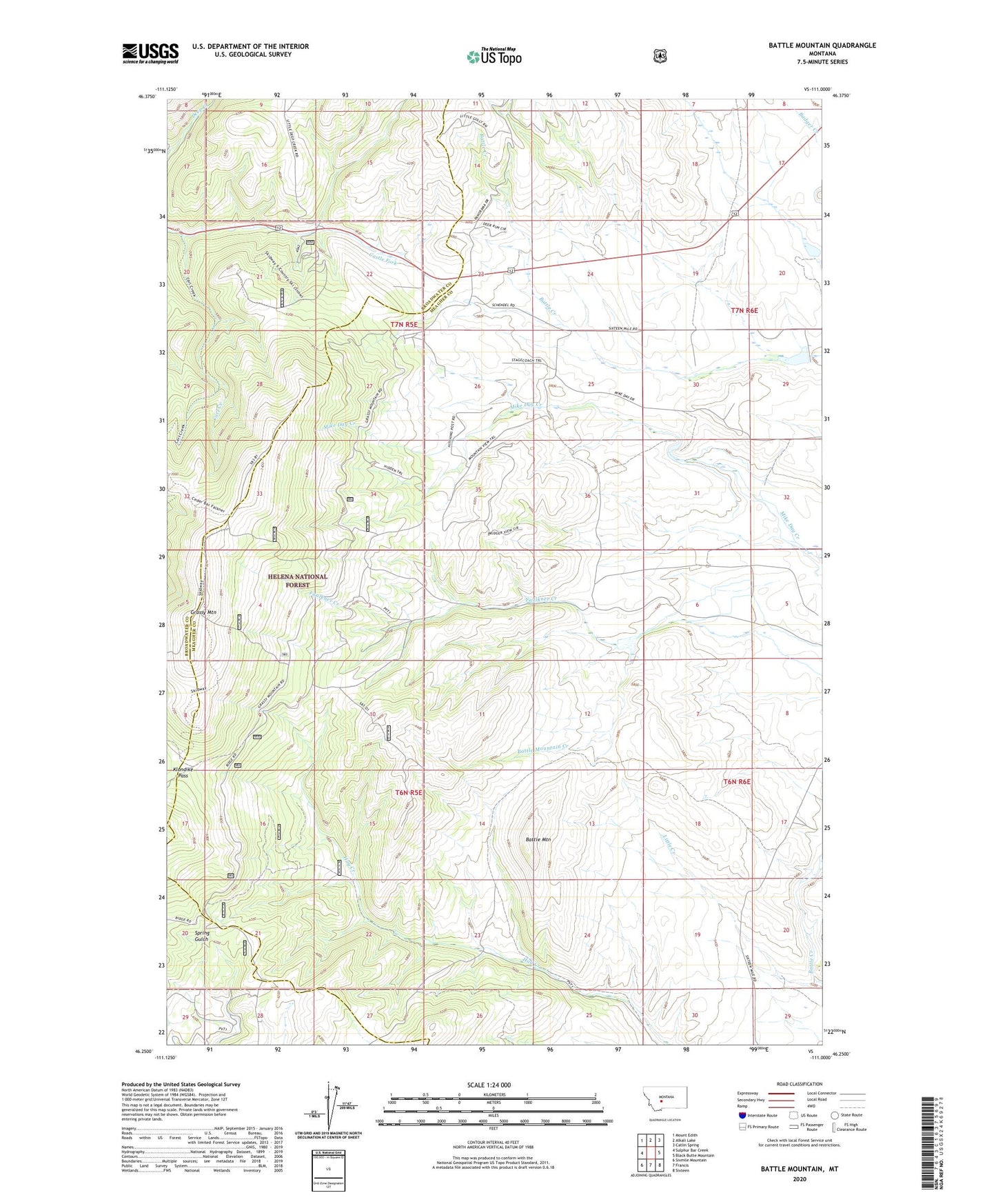
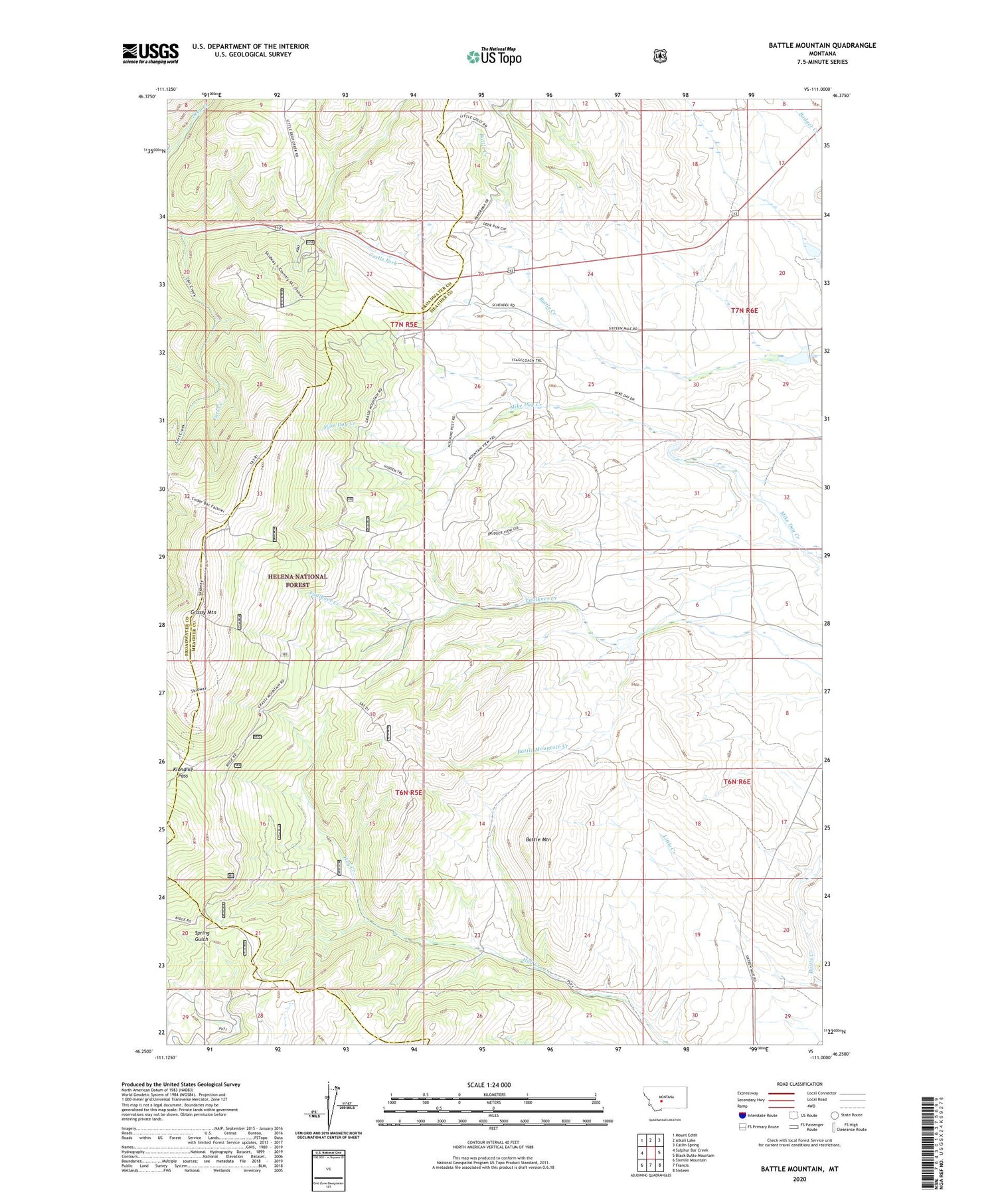
2020 topographic map quadrangle Battle Mountain in the state of Montana. Scale: 1:24000. Based on the newly updated USGS 7.5' US Topo map series, this map is in the following counties: Meagher, Broadwater. The map contains contour data, water features, and other items you are used to seeing on USGS maps, but also has updated roads and other features. This is the next generation of topographic maps. Printed on high-quality waterproof paper with UV fade-resistant inks.
Quads adjacent to this one:
West: Sulphur Bar Creek
Northwest: Mount Edith
North: Alkali Lake
Northeast: Catlin Spring
East: Black Butte Mountain
Southeast: Sixteen
South: Francis
Southwest: Sixmile Mountain
Contains the following named places: Battle Mountain, Battle Mountain Creek, Carl Creek, Doty Post Office, Grass Mountain Ski Area, Grassy Mountain, Klondike Pass, L Schendell Dam, Little Creek, Schindal Battle I Dam, Shendell Number 2 Dam, Skidway Campground