MyTopo
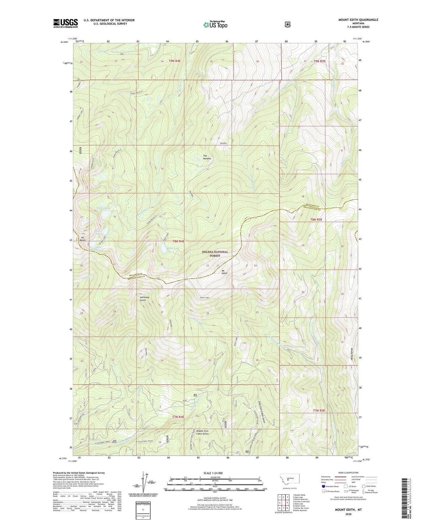
Mount Edith Montana US Topo Map
Couldn't load pickup availability
Also explore the Mount Edith Forest Service Topo of this same quad for updated USFS data
2024 topographic map quadrangle Mount Edith in the state of Montana. Scale: 1:24000. Based on the newly updated USGS 7.5' US Topo map series, this map is in the following counties: Broadwater, Meagher. The map contains contour data, water features, and other items you are used to seeing on USGS maps, but also has updated roads and other features. This is the next generation of topographic maps. Printed on high-quality waterproof paper with UV fade-resistant inks.
Quads adjacent to this one:
West: Gurnett Creek East
Northwest: Boulder Baldy
North: Gipsy Lake
Northeast: Hanson Reservoir
East: Alkali Lake
Southeast: Battle Mountain
South: Sulphur Bar Creek
Southwest: Lippert Gulch
This map covers the same area as the classic USGS quad with code o46111d2.
Contains the following named places: Butte Creek, Edith Lake, Grace Lake, Granger Fork, Hidden Lake, Mount Baldy, Mount Edith, Spring Creek, The Needles, Upper Baldy Lake, Windy Ridge