MyTopo
Bears Nest Montana US Topo Map
Couldn't load pickup availability
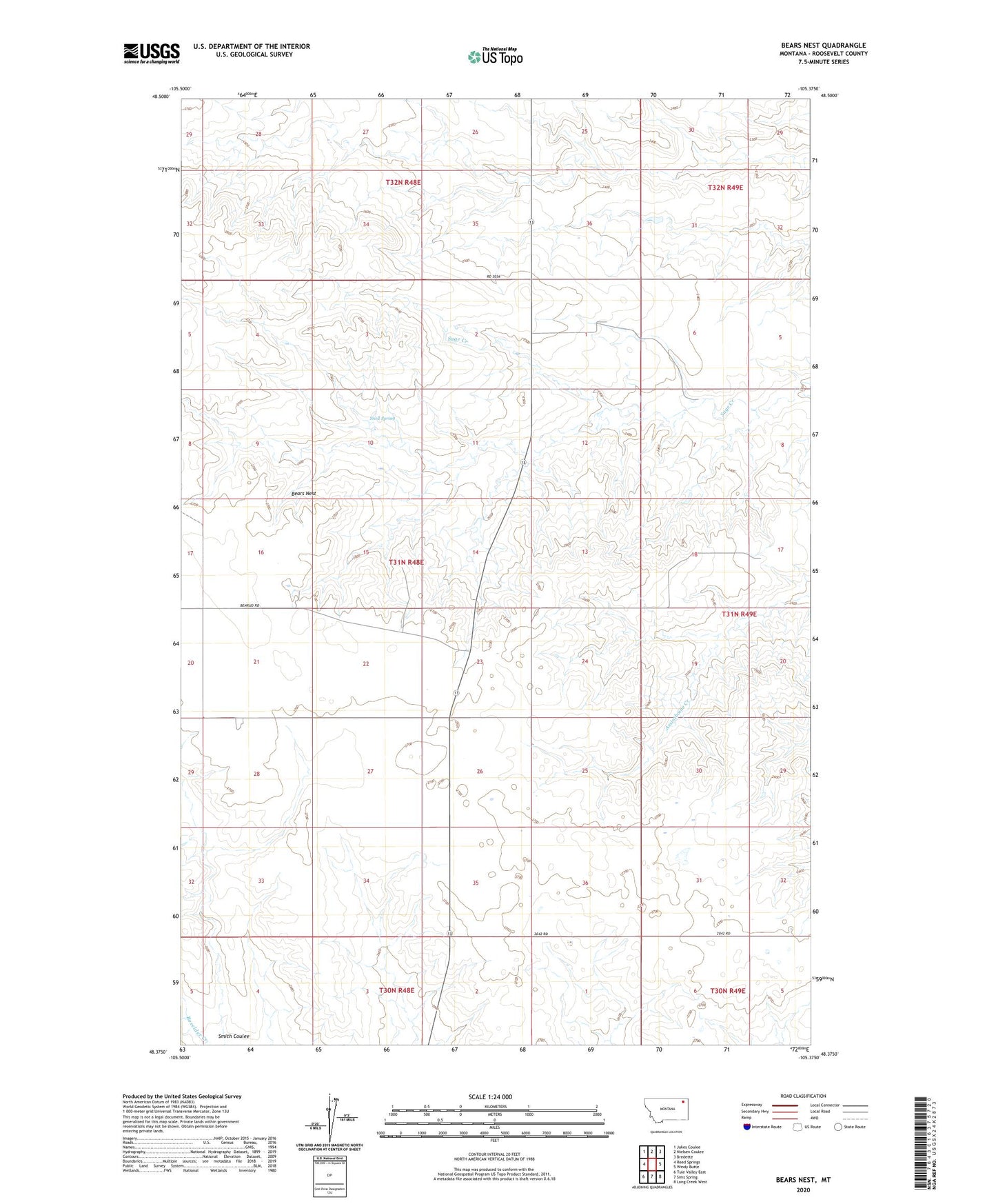
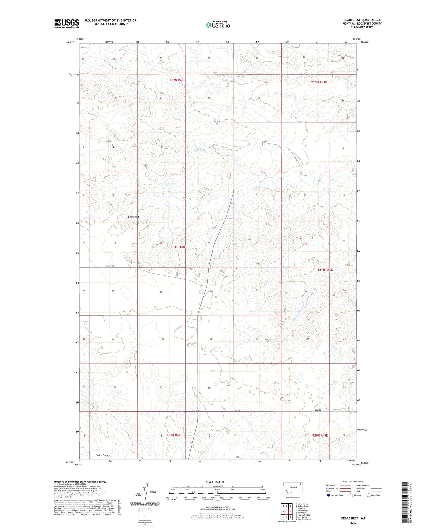
2020 topographic map quadrangle Bears Nest in the state of Montana. Scale: 1:24000. Based on the newly updated USGS 7.5' US Topo map series, this map is in the following counties: Roosevelt. The map contains contour data, water features, and other items you are used to seeing on USGS maps, but also has updated roads and other features. This is the next generation of topographic maps. Printed on high-quality waterproof paper with UV fade-resistant inks.
Quads adjacent to this one:
West: Reed Springs
Northwest: Jakes Coulee
North: Nielsen Coulee
Northeast: Bredette
East: Windy Butte
Southeast: Long Creek West
South: Sims Spring
Southwest: Tule Valley East
Contains the following named places: 30N48E02BBDA01 Well, 31N48E01ACCD02 Well, 31N48E25BBCB01 Well, 31N48E25BC__01 Well, 31N48E26BCDA01 Well, 31N48E28BABD01 Well, 31N48E28BACB01 Well, 32N48E27CACD01 Well, 32N49E31DCBB01 Well, 32N49E31DCDC01 Well, Bears Nest, Fort Peck Reservation Number 21 Dam, Hammer, Highland School Number Two, Snell Spring