
MyTopo
Bowdoin Montana US Topo Map
Couldn't load pickup availability
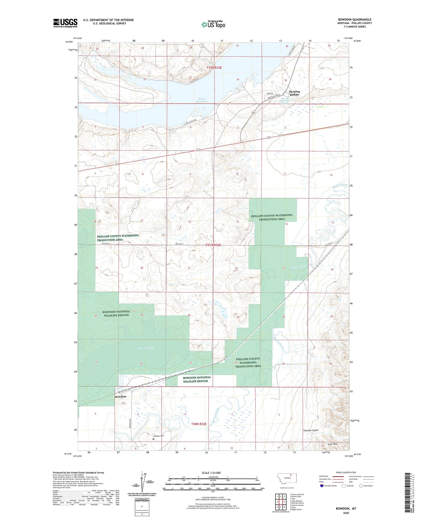
2020 topographic map quadrangle Bowdoin in the state of Montana. Scale: 1:24000. Based on the newly updated USGS 7.5' US Topo map series, this map is in the following counties: Phillips. The map contains contour data, water features, and other items you are used to seeing on USGS maps, but also has updated roads and other features. This is the next generation of topographic maps. Printed on high-quality waterproof paper with UV fade-resistant inks.
Quads adjacent to this one:
West: Lake Bowdoin
Northwest: Hewitt Lake SW
North: Hewitt Lake
Northeast: Cole
East: Robinson Ranch
Southeast: Regal Coulee
South: Pinks
Southwest: Clanton Coulee
Contains the following named places: 31N32E21CCCC01 Well, 32N32E35CDB_01 Well, 32N32E35CDBD01 Well, 32N32E35DB__01 Well, 32N32E35DCCA01 Well, Bowdoin, Bowdoin Cemetery, Bowdoin Post Office, Bowdoin School, Brady's Ranch, Cree Crossing Historical Marker, Dry Lake Unit, Mud Lake, Nelson Reservoir, Nelson State Recreation Area, Sleeping Buffalo, Sleeping Buffalo Census Designated Place, Sleeping Buffalo Hot Springs, Sleeping Buffalo Resort Campground, Sleeping Buffalo Resort Golf Course, Sleeping Buffalo Rock Historical Marker, Thomas Coulee, Wooldridge, Wooldridge School


