
MyTopo
Coal Creek Montana US Topo Map
Couldn't load pickup availability
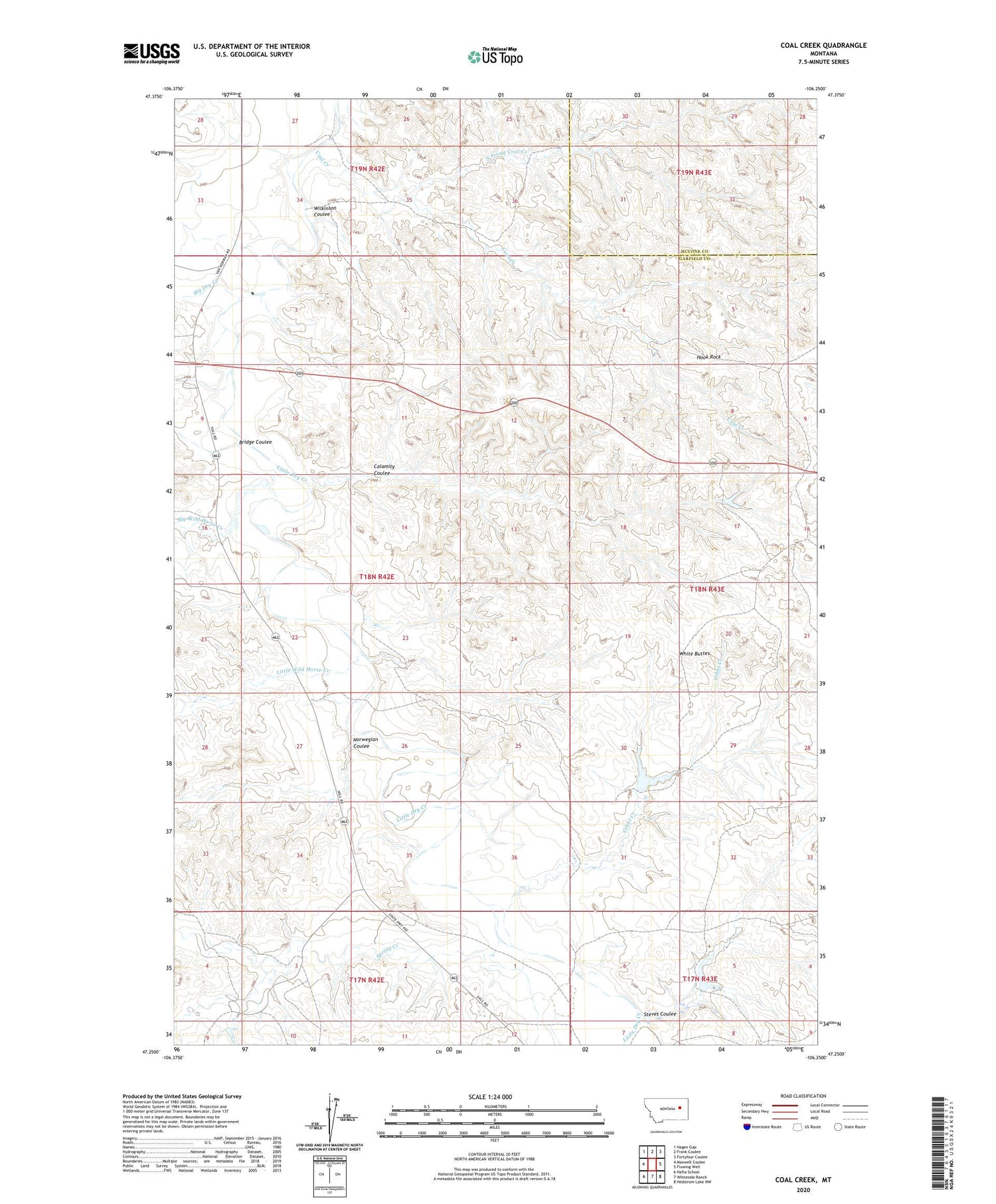
2020 topographic map quadrangle Coal Creek in the state of Montana. Scale: 1:24000. Based on the newly updated USGS 7.5' US Topo map series, this map is in the following counties: Garfield, McCone. The map contains contour data, water features, and other items you are used to seeing on USGS maps, but also has updated roads and other features. This is the next generation of topographic maps. Printed on high-quality waterproof paper with UV fade-resistant inks.
Quads adjacent to this one:
West: Maxwell Coulee
Northwest: Hagen Gap
North: Frank Coulee
Northeast: Fortyfour Coulee
East: Flowing Well
Southeast: Hedstrom Lake NW
South: Whiteside Ranch
Southwest: Hafla School
Contains the following named places: 17N42E01D___01 Well, 17N42E04DCCC01 Well, 18N43E06BB__01 Well, 18N43E17B___01 Well, 18N43E28CBDB01 Well, 18N43E29AA__01 Well, 19N42E25DA__01 Well, Big Wild Horse Creek, Bridge Coulee, Calamity Coulee, Coal Creek, Frady Number 1 Dam, Gibbs Creek, Hook Rock, Jeffrey Number 1 Dam, Jeffrey Number 2 Dam, Little Dry Creek, Little Wild Horse Creek, North Prong Coal Creek, Norwegian Coulee, Spring Creek, Stevens Coulee Number 1 Dam, Steves Coulee, White Buttes, Wilkinson Coulee


