MyTopo
Fortyfour Coulee Montana US Topo Map
Couldn't load pickup availability
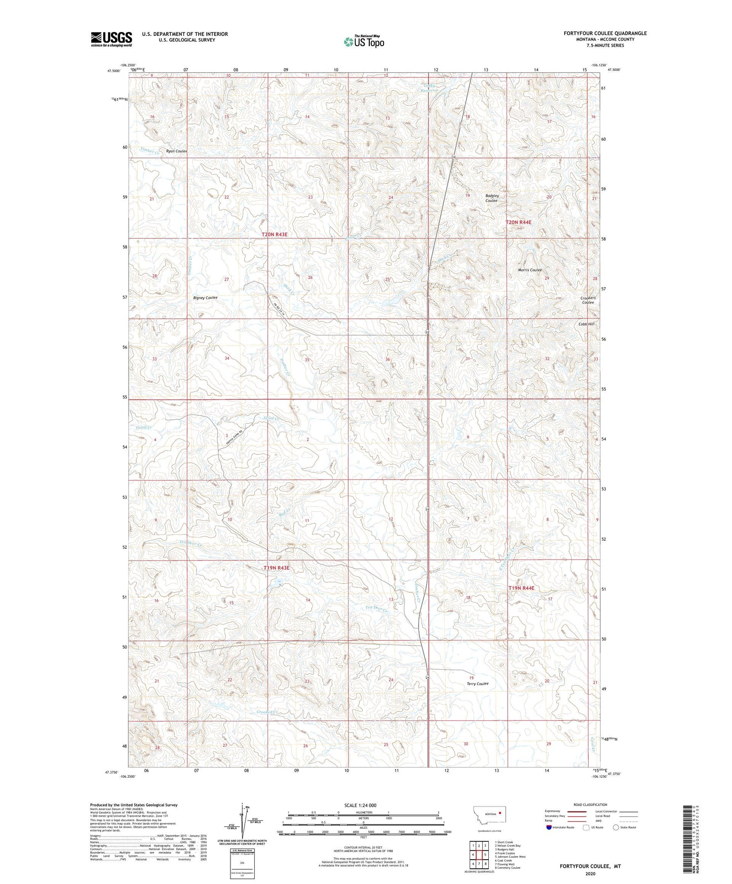
2024 topographic map quadrangle Fortyfour Coulee in the state of Montana. Scale: 1:24000. Based on the newly updated USGS 7.5' US Topo map series, this map is in the following counties: McCone. The map contains contour data, water features, and other items you are used to seeing on USGS maps, but also has updated roads and other features. This is the next generation of topographic maps. Printed on high-quality waterproof paper with UV fade-resistant inks.
Quads adjacent to this one:
West: Frank Coulee
Northwest: Short Creek
North: Nelson Creek Bay
Northeast: Rodgers Hall
East: Johnson Coulee West
Southeast: Cemetery Coulee
South: Flowing Well
Southwest: Coal Creek
This map covers the same area as the classic USGS quad with code o47106d2.
Contains the following named places: 19N43E02BACA01 Well, 19N43E03ABBD01 Well, 19N43E04BADD01 Well, 19N43E09ABDD01 Well, 19N43E23AADC01 Well, 19N43E24AADC01 Well, 19N44E19BBAB01 Well, 19N44E20DADD01 Well, 19N44E29ADCD01 Well, Bad Creek, Bigney Coulee, Cedar Creek, Cobb Hill, D Hinnaland Number 1 Dam, East Ten Deer Creek, Good Creek, Leaky Reservoir, Ryan Coulee, Shed Creek, Ten Deer Creek, Terry Coulee