MyTopo
Collins Montana US Topo Map
Couldn't load pickup availability
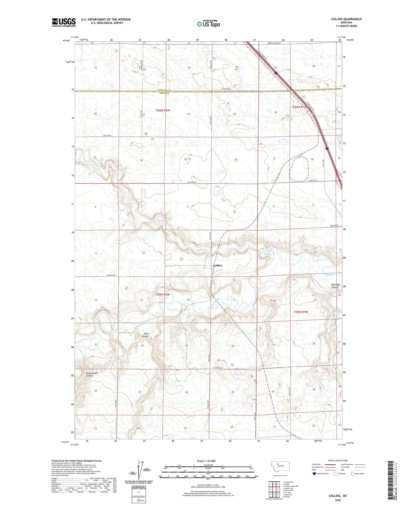
2024 topographic map quadrangle Collins in the state of Montana. Scale: 1:24000. Based on the newly updated USGS 7.5' US Topo map series, this map is in the following counties: Teton, Pondera. The map contains contour data, water features, and other items you are used to seeing on USGS maps, but also has updated roads and other features. This is the next generation of topographic maps. Printed on high-quality waterproof paper with UV fade-resistant inks.
Quads adjacent to this one:
West: Collins NW
Northwest: Conrad SW
North: Brady
Northeast: Fowler Coulee SW
East: Dutton NW
Southeast: Dutton
South: Collins SE
Southwest: T L Gap
This map covers the same area as the classic USGS quad with code o47111h7.
Contains the following named places: Acme, Acme Elevator, Collins, Collins Post Office, Collins School, Government Coulee, Methodist Church, Muddy Creek, Pershing, Railroad Coulee, Trail Coulee