MyTopo
Comanche Montana US Topo Map
Couldn't load pickup availability
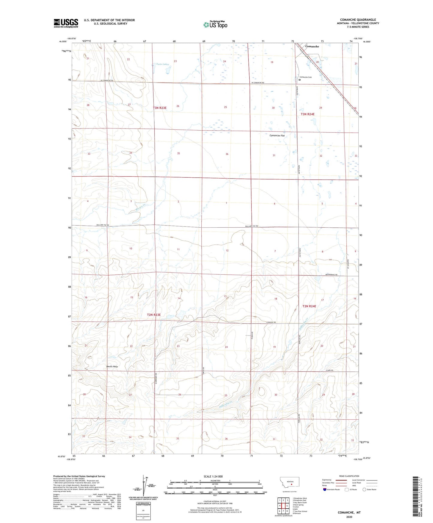
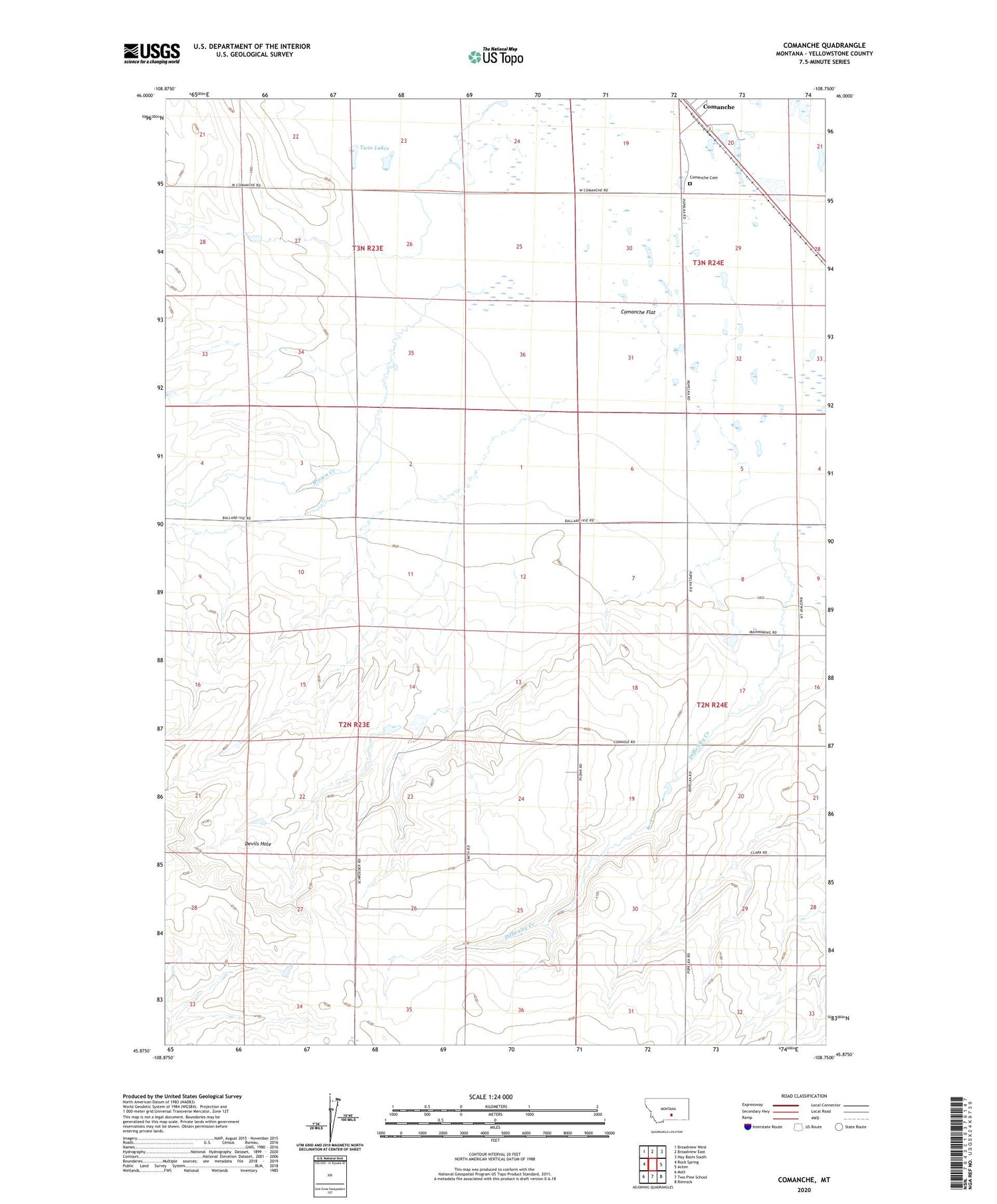
2020 topographic map quadrangle Comanche in the state of Montana. Scale: 1:24000. Based on the newly updated USGS 7.5' US Topo map series, this map is in the following counties: Yellowstone. The map contains contour data, water features, and other items you are used to seeing on USGS maps, but also has updated roads and other features. This is the next generation of topographic maps. Printed on high-quality waterproof paper with UV fade-resistant inks.
Quads adjacent to this one:
West: Rock Spring
Northwest: Broadview West
North: Broadview East
Northeast: Hay Basin South
East: Acton
Southeast: Rimrock
South: Two Pine School
Southwest: Molt
Contains the following named places: 02N23E02D___01 Well, 02N23E24A___01 Well, 02N23E28C___01 Well, 02N24E32B___01 Well, 03N24E20B___01 Well, 03N24E32ADDC01 Well, Ballard Ranch, Brown Creek, Comanche, Comanche Cemetery, Devils Hole, Difficulty Creek, Heiken Ranch, K L Clark Number 1 Dam, Lane Ranch, Pleasant Valley School, Popelka Ranch, Schroder Ranch, Twin Lakes