MyTopo
Hay Basin South Montana US Topo Map
Couldn't load pickup availability
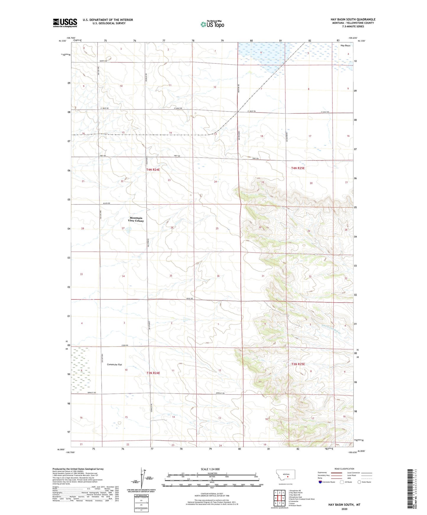
2024 topographic map quadrangle Hay Basin South in the state of Montana. Scale: 1:24000. Based on the newly updated USGS 7.5' US Topo map series, this map is in the following counties: Yellowstone. The map contains contour data, water features, and other items you are used to seeing on USGS maps, but also has updated roads and other features. This is the next generation of topographic maps. Printed on high-quality waterproof paper with UV fade-resistant inks.
Quads adjacent to this one:
West: Broadview East
Northwest: Broadview NE
North: Hay Basin North
Northeast: Hay Basin NE
East: North Fork Crooked Creek West
Southeast: Hickson Ranch
South: Acton
Southwest: Comanche
This map covers the same area as the classic USGS quad with code o46108a6.
Contains the following named places: 03N24E12A___01 Well, 03N25E04CACC01 Well, 04N24E02CCCC01 Well, 04N24E11BCDB01 Well, 04N24E14AABD01 Well, 59002, Dreves Dam, Fortney Ranch, Mountain View Colony, Mountain View Colony Census Designated Place