MyTopo
Dark Butte Montana US Topo Map
Couldn't load pickup availability
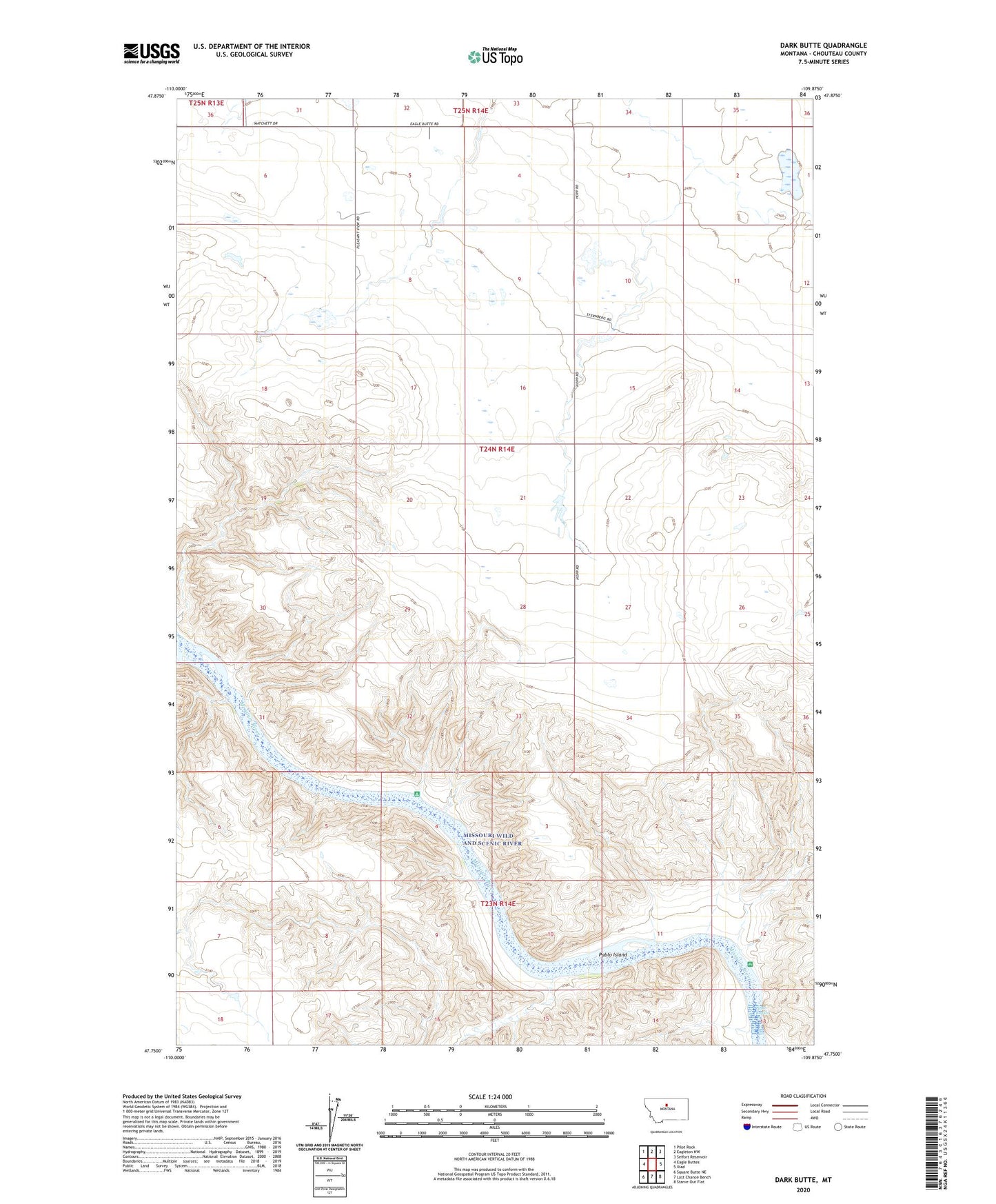
2024 topographic map quadrangle Dark Butte in the state of Montana. Scale: 1:24000. Based on the newly updated USGS 7.5' US Topo map series, this map is in the following counties: Chouteau. The map contains contour data, water features, and other items you are used to seeing on USGS maps, but also has updated roads and other features. This is the next generation of topographic maps. Printed on high-quality waterproof paper with UV fade-resistant inks.
Quads adjacent to this one:
West: Eagle Buttes
Northwest: Pilot Rock
North: Eagleton NW
Northeast: Seifort Reservoir
East: Iliad
Southeast: Starve Out Flat
South: Last Chance Bench
Southwest: Square Butte NE
This map covers the same area as the classic USGS quad with code o47109g8.
Contains the following named places: 23N14E18ABBD01 Well, 24N14E20BDAA01 Well, Cantigny School, Circut Breaker Dam, Dark Butte, Eagle Eyes Dam, Pablo Island, Pablo Rapids, Pluto Dam, Sheep Shed Coulee, Steamboat Rock, Tuscania School