MyTopo
Iliad Montana US Topo Map
Couldn't load pickup availability
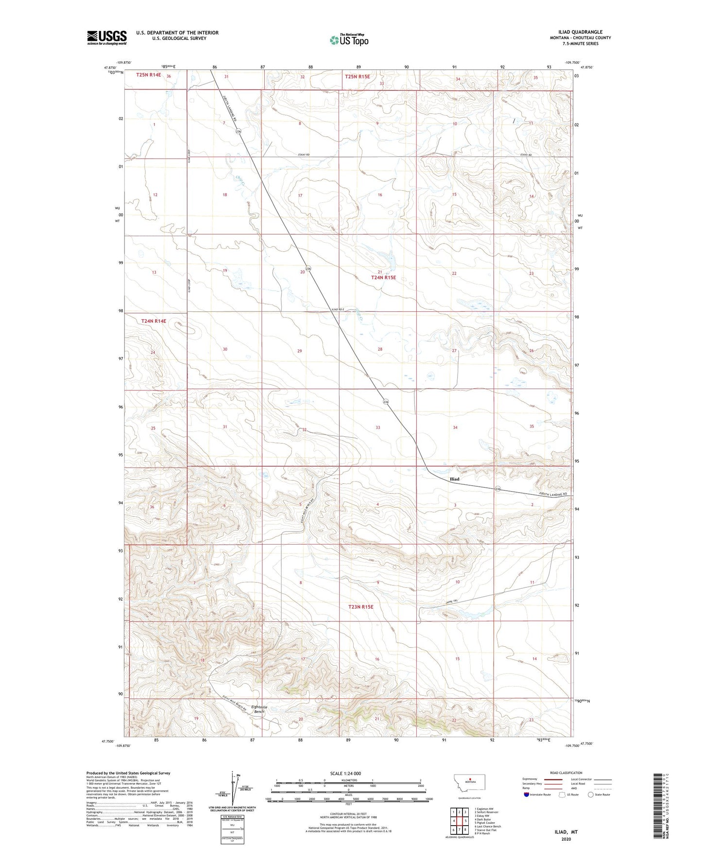
2024 topographic map quadrangle Iliad in the state of Montana. Scale: 1:24000. Based on the newly updated USGS 7.5' US Topo map series, this map is in the following counties: Chouteau. The map contains contour data, water features, and other items you are used to seeing on USGS maps, but also has updated roads and other features. This is the next generation of topographic maps. Printed on high-quality waterproof paper with UV fade-resistant inks.
Quads adjacent to this one:
West: Dark Butte
Northwest: Eagleton NW
North: Seifort Reservoir
Northeast: Eskay NW
East: Pigtail Coulee
Southeast: P N Ranch
South: Starve Out Flat
Southwest: Last Chance Bench
This map covers the same area as the classic USGS quad with code o47109g7.
Contains the following named places: 23N15E08DBBD01 Well, 23N15E23CBA_01 Well, 24N15E33CBDA01 Well, Comet Dam, Iliad, Iliad Post Office, Iliad School, Jappe Dam, Sage Coulee, Sandstone Coulee, Tortilla Dam