MyTopo
Elmdale NW Montana US Topo Map
Couldn't load pickup availability
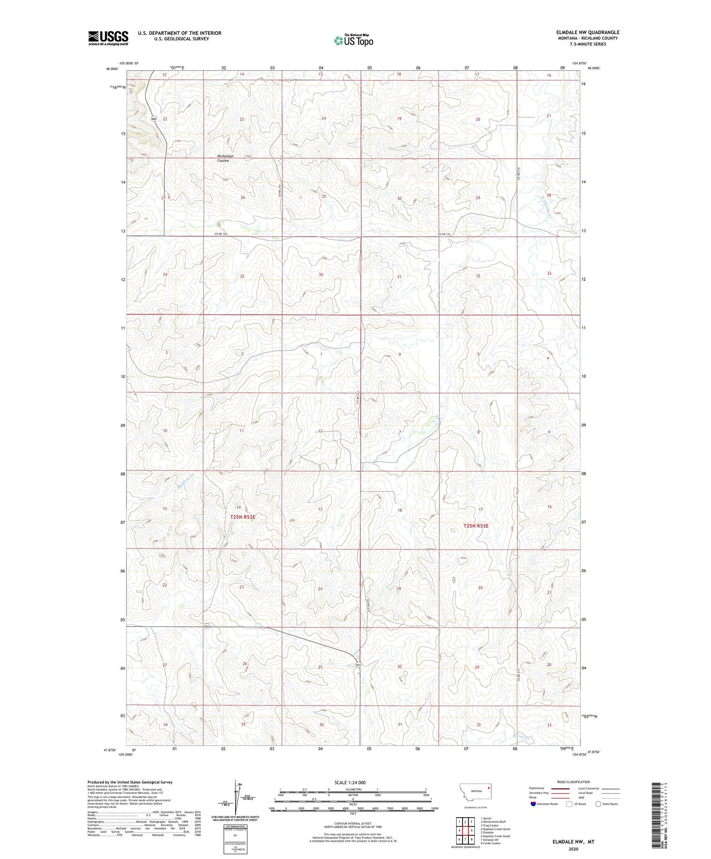
2024 topographic map quadrangle Elmdale NW in the state of Montana. Scale: 1:24000. Based on the newly updated USGS 7.5' US Topo map series, this map is in the following counties: Richland. The map contains contour data, water features, and other items you are used to seeing on USGS maps, but also has updated roads and other features. This is the next generation of topographic maps. Printed on high-quality waterproof paper with UV fade-resistant inks.
Quads adjacent to this one:
West: Duplisse Creek North
Northwest: Sprole
North: Mortarstone Bluff
Northeast: Frog Coulee
East: Elmdale
Southeast: Carda Coulee
South: Elmdale SW
Southwest: Duplisse Creek South
This map covers the same area as the classic USGS quad with code o47104h8.
Contains the following named places: 14N54E29ACCA01 Well, 25N52E02BBDA01 Well, 25N52E22CDCA01 Well, 25N52E27BABA01 Well, 25N52E27BABA02 Well, 25N53E07CCAD01 Well, 25N53E16DABC01 Well, 25N53E23CABA01 Well, 25N53E30CCBB01 Well, 25N53E30CCBC01 Well, 25N53E32ADCA01 Well, 26N52E26DDCC01 Well, 26N52E35ABBB01 Well, 26N52E35ABBC01 Well, Armstrong School, Elmdale Nazarene Church, Goodwin School, McKinley School, Tolksdorf Number 1 Dam, Tolksdorf Number 2 Dam