
MyTopo
Finn Montana US Topo Map
Couldn't load pickup availability
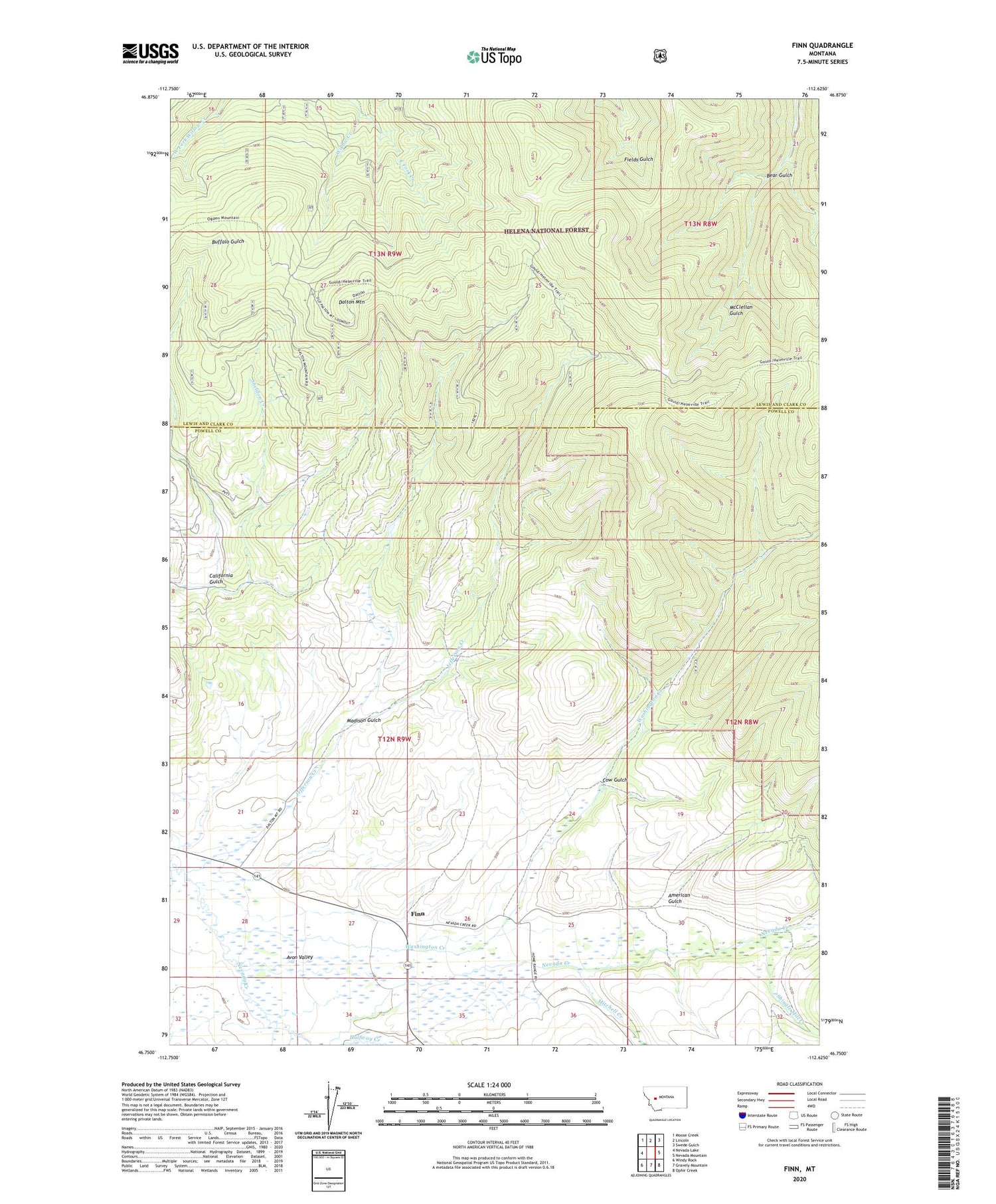
2020 topographic map quadrangle Finn in the state of Montana. Scale: 1:24000. Based on the newly updated USGS 7.5' US Topo map series, this map is in the following counties: Powell, Lewis and Clark. The map contains contour data, water features, and other items you are used to seeing on USGS maps, but also has updated roads and other features. This is the next generation of topographic maps. Printed on high-quality waterproof paper with UV fade-resistant inks.
Quads adjacent to this one:
West: Nevada Lake
Northwest: Moose Creek
North: Lincoln
Northeast: Swede Gulch
East: Nevada Mountain
Southeast: Ophir Creek
South: Gravely Mountain
Southwest: Windy Rock
Contains the following named places: 12N09W21CCBC01 Well, 12N09W25CBCA01 Well, 12N09W34AAAA01 Well, American Gulch, Bear Gulch, California Gulch, Cow Gulch, Dalton Mountain, East Fork Creek, Finn, Finn Creek, Finn Post Office, Finn School, Gallagher Creek, Halfway Creek, Jefferson Creek, Keiley, Keiley Ranch Strip, Madison Gulch, Mannix Dam, Mitchell Creek, NE SE Section 30 Mine, NE SE Section 6 Mine, NW SE Section 30 Mine, NW SW Section 5 Mine, Sheldon Creek, Shingle Mill Creek, SW NE Section 6 Mine, Washington Creek, Washington Creek Mine, Washington Gulch, Washington Gulch Post Office, Washington Gulch School, Wiggins Mine


