
MyTopo
Forks Montana US Topo Map
Couldn't load pickup availability
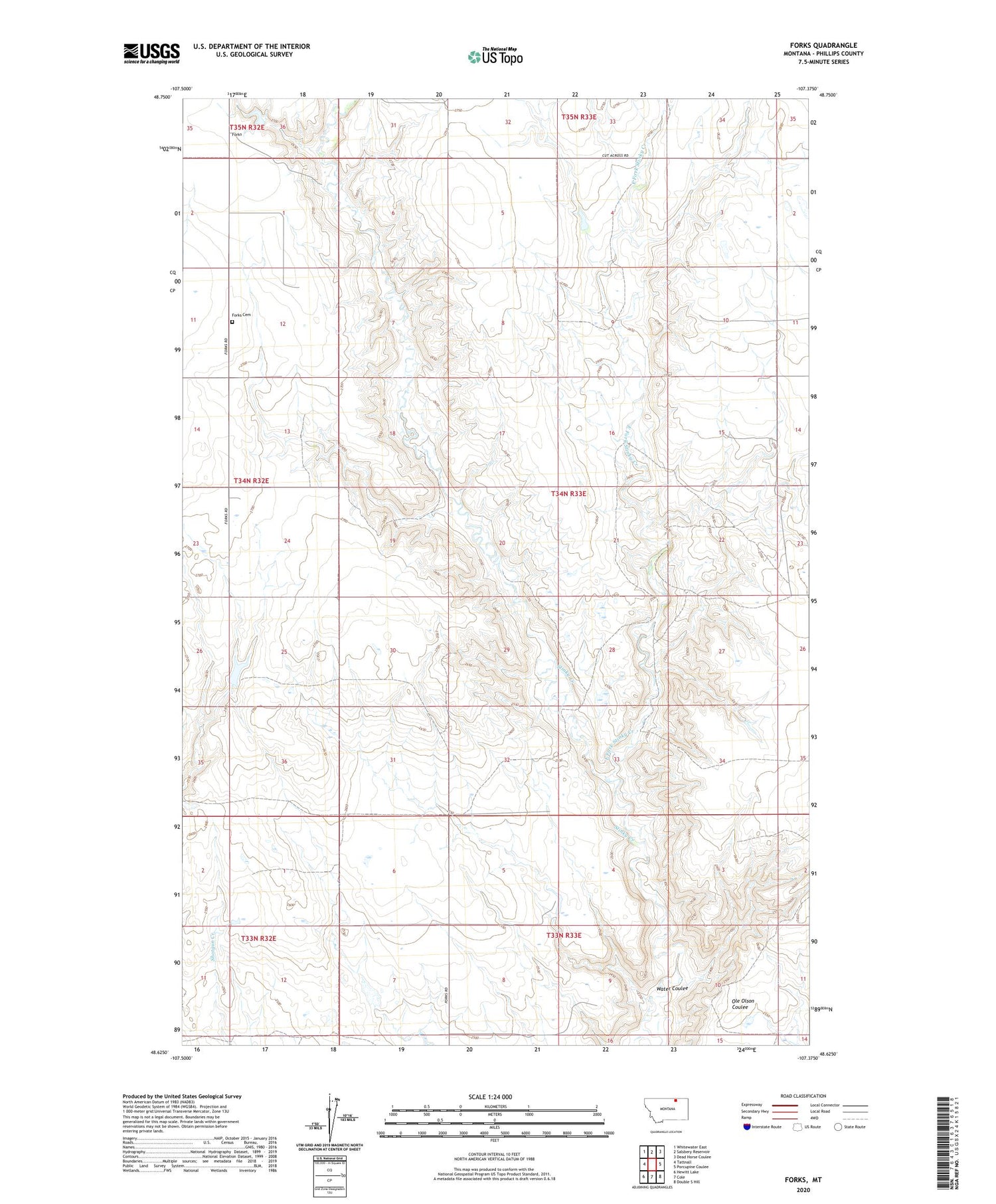
2020 topographic map quadrangle Forks in the state of Montana. Scale: 1:24000. Based on the newly updated USGS 7.5' US Topo map series, this map is in the following counties: Phillips. The map contains contour data, water features, and other items you are used to seeing on USGS maps, but also has updated roads and other features. This is the next generation of topographic maps. Printed on high-quality waterproof paper with UV fade-resistant inks.
Quads adjacent to this one:
West: Tattnall
Northwest: Whitewater East
North: Salsbery Reservoir
Northeast: Dead Horse Coulee
East: Porcupine Coulee
Southeast: Double S Hill
South: Cole
Southwest: Hewitt Lake
Contains the following named places: East Fork Stinky Creek, Forks, Forks Cemetery, Forks Post Office, Knuth School, New Deal School, Old Whitewater School, Ole Olson Coulee, Omundson School, Pearson School, Walsh Post Office, Water Coulee


