MyTopo
Porcupine Coulee Montana US Topo Map
Couldn't load pickup availability
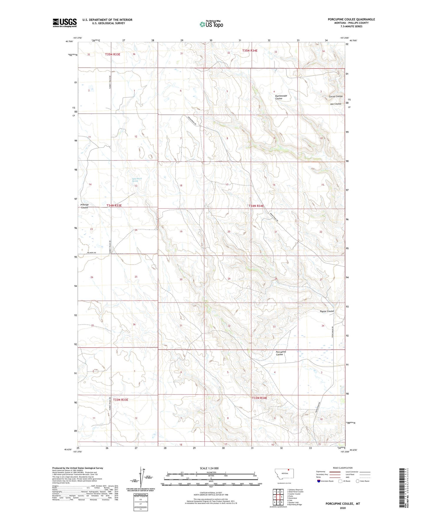
2024 topographic map quadrangle Porcupine Coulee in the state of Montana. Scale: 1:24000. Based on the newly updated USGS 7.5' US Topo map series, this map is in the following counties: Phillips. The map contains contour data, water features, and other items you are used to seeing on USGS maps, but also has updated roads and other features. This is the next generation of topographic maps. Printed on high-quality waterproof paper with UV fade-resistant inks.
Quads adjacent to this one:
West: Forks
Northwest: Salsbery Reservoir
North: Dead Horse Coulee
Northeast: Coulter Coulee
East: Genevieve
Southeast: Bjornberg Bridge
South: Double S Hill
Southwest: Cole
This map covers the same area as the classic USGS quad with code o48107f3.
Contains the following named places: Garrison School, Poplar Coulee, Porcupine Coulee, Split Shack Spring, Tieden School, Tollofson School, Tucker School