MyTopo
Four Buttes NE Montana US Topo Map
Couldn't load pickup availability
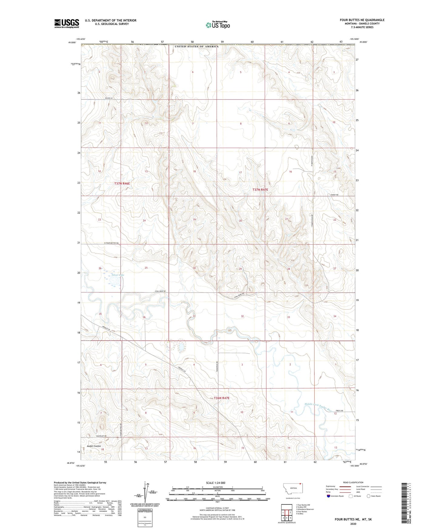
2024 topographic map quadrangle Four Buttes NE in the state of Montana. Scale: 1:24000. Based on the newly updated USGS 7.5' US Topo map series, this map is in the following counties: Daniels. The map contains contour data, water features, and other items you are used to seeing on USGS maps, but also has updated roads and other features. This is the next generation of topographic maps. Printed on high-quality waterproof paper with UV fade-resistant inks.
Quads adjacent to this one:
West: Four Buttes NW
East: Scobey NW
Southeast: Scobey
South: Four Buttes
Southwest: Killenbeck Reservoir
This map covers the same area as the classic USGS quad with code o48105h5.
Contains the following named places: 36N47E02ABCC01 Well, 37N46E01CDDC01 Well, 37N46E01CDDD01 Well, 37N46E25CCBD01 Well, 37N46E35CADD01 Well, 37N46E36DBDB01 Well, 37N47E06CAAC01 Well, 37N47E06DBAA01 Well, 37N47E06DBAD01 Well, 37N47E08DDDB01 Well, 37N47E09CBBB01 Well, 37N47E09CBBB02 Well, 37N47E16ACCD01 Well, 37N47E16ACCD02 Well, 37N47E17DABB02 Well, 37N47E20DDDB01 Well, 37N47E29DBDB01 Well, 37N47E30BBAB01 Well, 37N47E30DBDB01 Well, Silver Lake