MyTopo
Fourmile Spring Montana US Topo Map
Couldn't load pickup availability
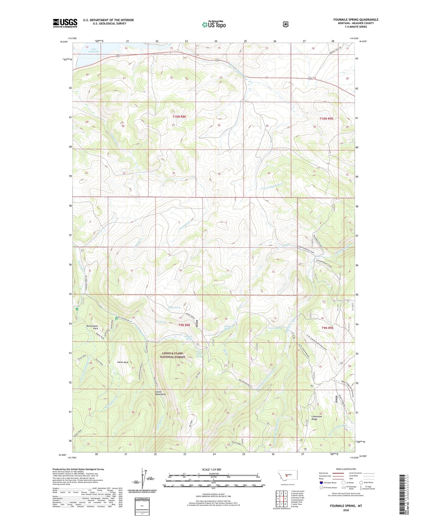
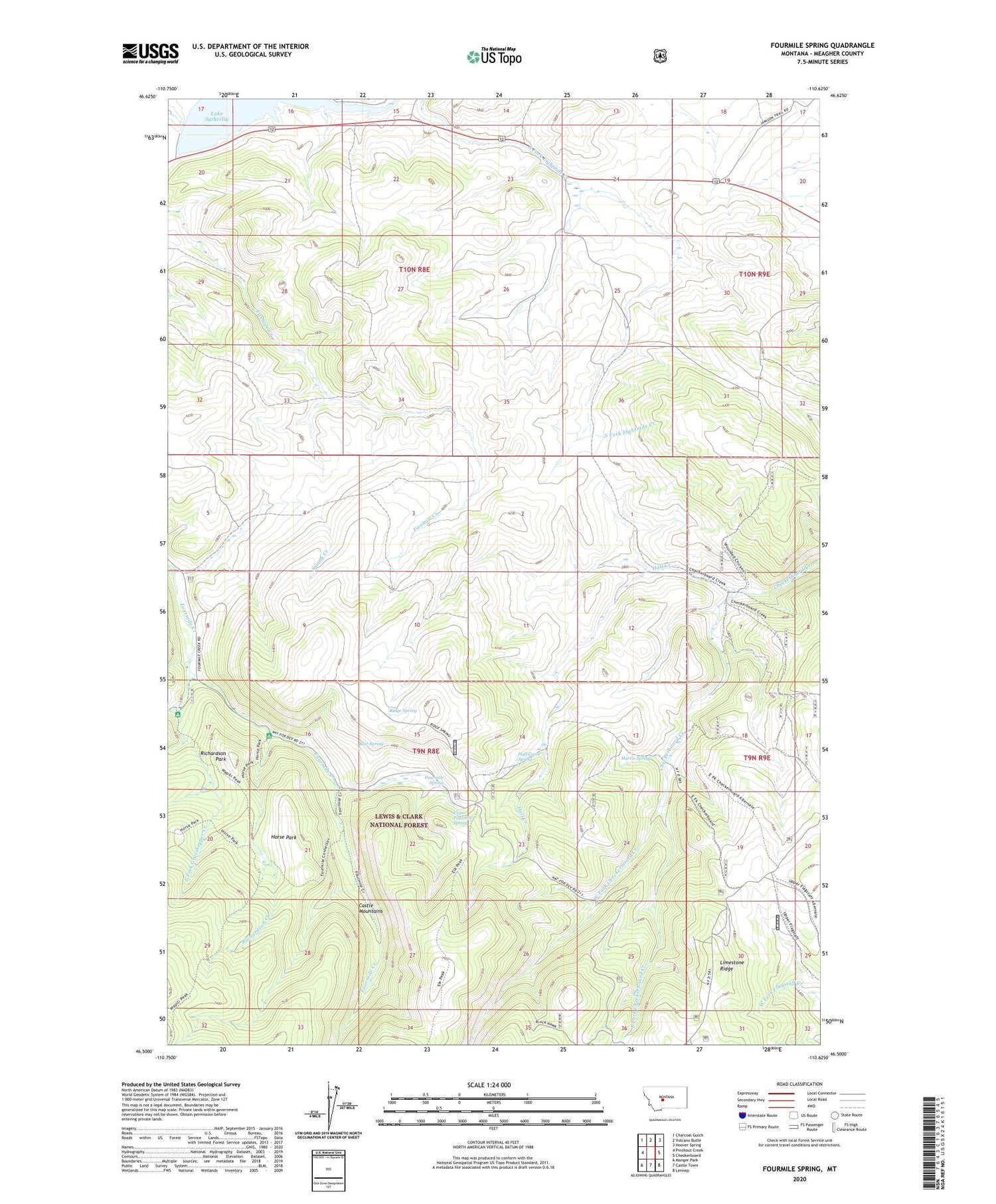
2020 topographic map quadrangle Fourmile Spring in the state of Montana. Scale: 1:24000. Based on the newly updated USGS 7.5' US Topo map series, this map is in the following counties: Meagher. The map contains contour data, water features, and other items you are used to seeing on USGS maps, but also has updated roads and other features. This is the next generation of topographic maps. Printed on high-quality waterproof paper with UV fade-resistant inks.
Quads adjacent to this one:
West: Pinchout Creek
Northwest: Charcoal Gulch
North: Volcano Butte
Northeast: Hoover Spring
East: Checkerboard
Southeast: Lennep
South: Castle Town
Southwest: Manger Park
Contains the following named places: Bair Spring, Copper, Copper Post Office, Copper School, Copperopolis, Copperopolis Post Office, East Fork Checkerboard Creek, East Fork Grasshopper Creek, Fourmile Spring, Grasshopper Campground, Grasshopper Creek, Hall Creek, Hall Creek Spring, Harris Spring, Horse Park, Lake Sutherlin, Lake Sutherlin Recreation Site, Limestone Ridge, NE NE Section 36 Mine, North Fork of Smith River Dam, Richardson Campground, Richardson Creek, Richardson Park, Ridge Spring, Spring Creek, SW SW Section 29 Mine, SW SW Section 30 Mine, Upper Fourmile Spring, Waterloo Mine, West Fork Checkerboard Creek