MyTopo
Gallup City Montana US Topo Map
Couldn't load pickup availability
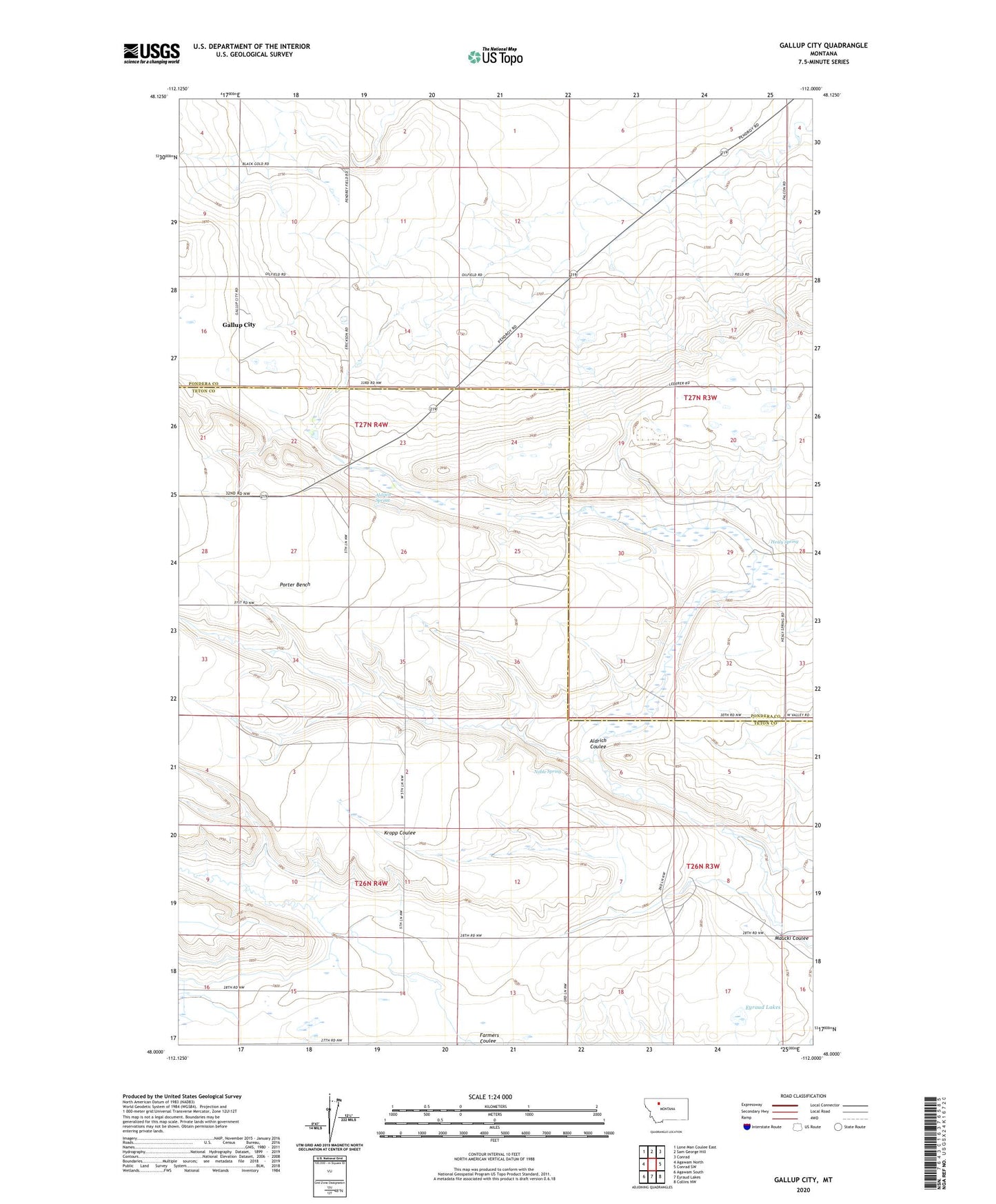
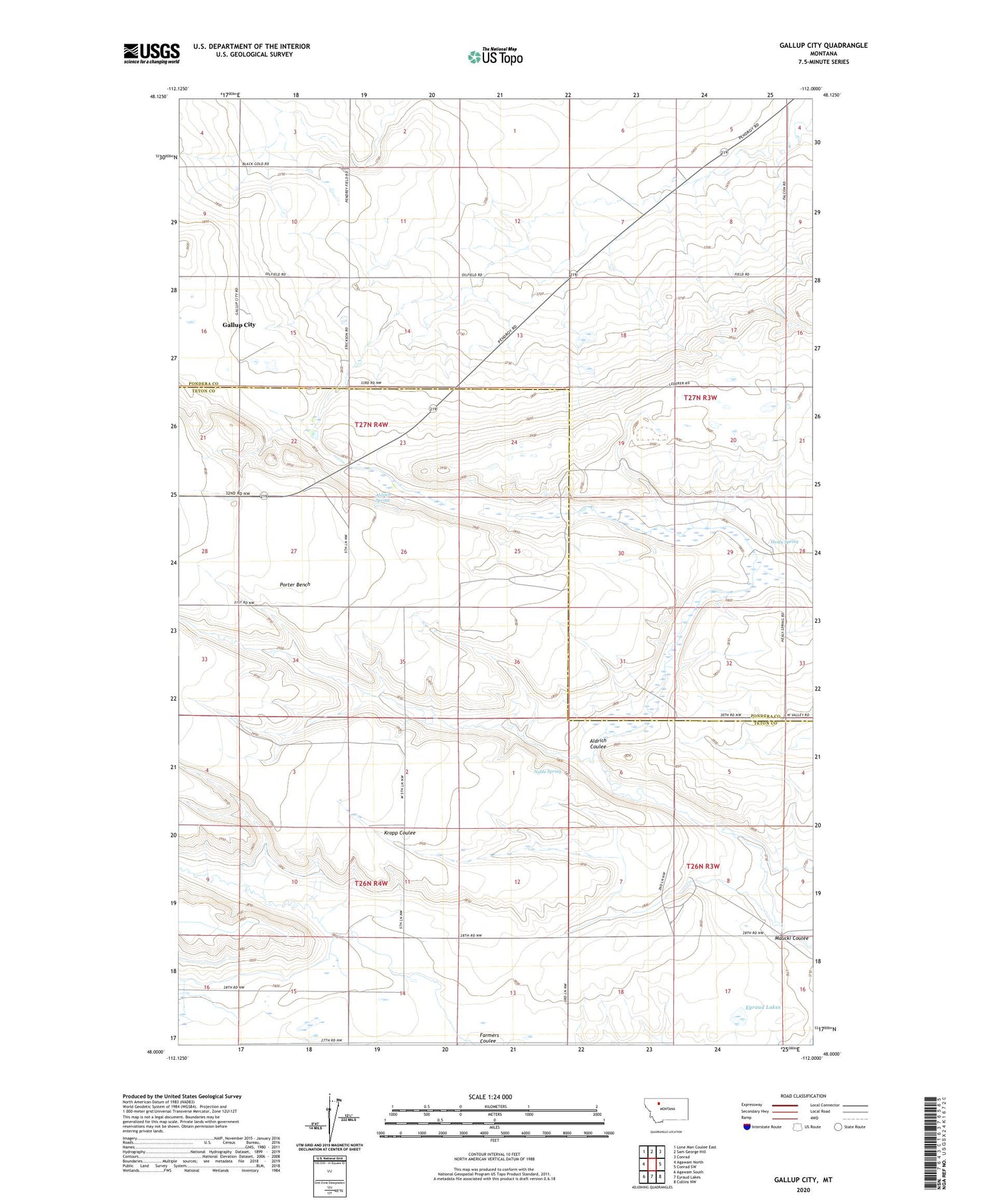
2020 topographic map quadrangle Gallup City in the state of Montana. Scale: 1:24000. Based on the newly updated USGS 7.5' US Topo map series, this map is in the following counties: Teton, Pondera. The map contains contour data, water features, and other items you are used to seeing on USGS maps, but also has updated roads and other features. This is the next generation of topographic maps. Printed on high-quality waterproof paper with UV fade-resistant inks.
Quads adjacent to this one:
West: Agawam North
Northwest: Lone Man Coulee East
North: Sam George Hill
Northeast: Conrad
East: Conrad SW
Southeast: Collins NW
South: Eyraud Lakes
Southwest: Agawam South
Contains the following named places: 26N04W15D___01 Well, Aldrich Coulee, Aldrich Spring, E Canal, Erickson, Erickson School, Gallup City, Gallup City Post Office, Healy Spring, Healy Springs, Maucki Coulee, Morhardt School, Noble Spring, Rowe Kamp School