MyTopo
Gilbert Creek SE Montana US Topo Map
Couldn't load pickup availability
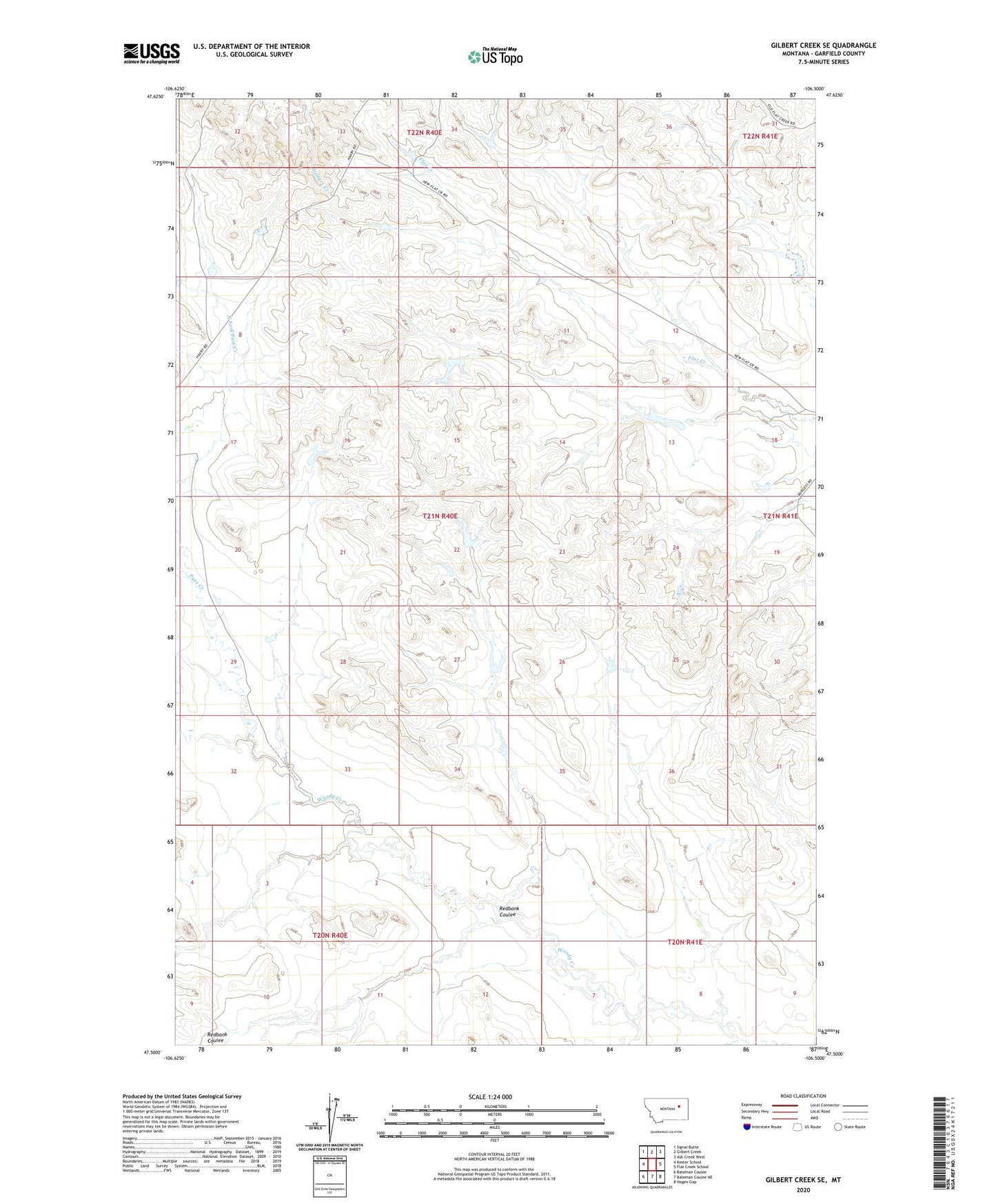
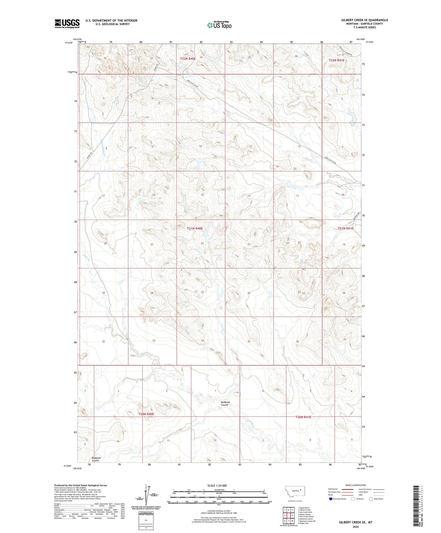
2020 topographic map quadrangle Gilbert Creek SE in the state of Montana. Scale: 1:24000. Based on the newly updated USGS 7.5' US Topo map series, this map is in the following counties: Garfield. The map contains contour data, water features, and other items you are used to seeing on USGS maps, but also has updated roads and other features. This is the next generation of topographic maps. Printed on high-quality waterproof paper with UV fade-resistant inks.
Quads adjacent to this one:
West: Kester School
Northwest: Signal Butte
North: Gilbert Creek
Northeast: Ash Creek West
East: Flat Creek School
Southeast: Hagen Gap
South: Bateman Coulee NE
Southwest: Bateman Coulee
Contains the following named places: 18N40E12CCAD01 Well, 20N40E12B___01 Well, 21N40E25BBA_01 Well, 21N41E18A___01 Well, Barclay Dam, Caldwell Dam, Caldwell Number 5 Dam, California Number 1 Dam, Chocolate Milkshake Dam, Davidson Post Office, Pass Creek, Phon, Phon Post Office, Phon School, Randolph Post Office, Redbank Coulee, Rey Dam, Taylor Dam