MyTopo
Glass Hill Montana US Topo Map
Couldn't load pickup availability
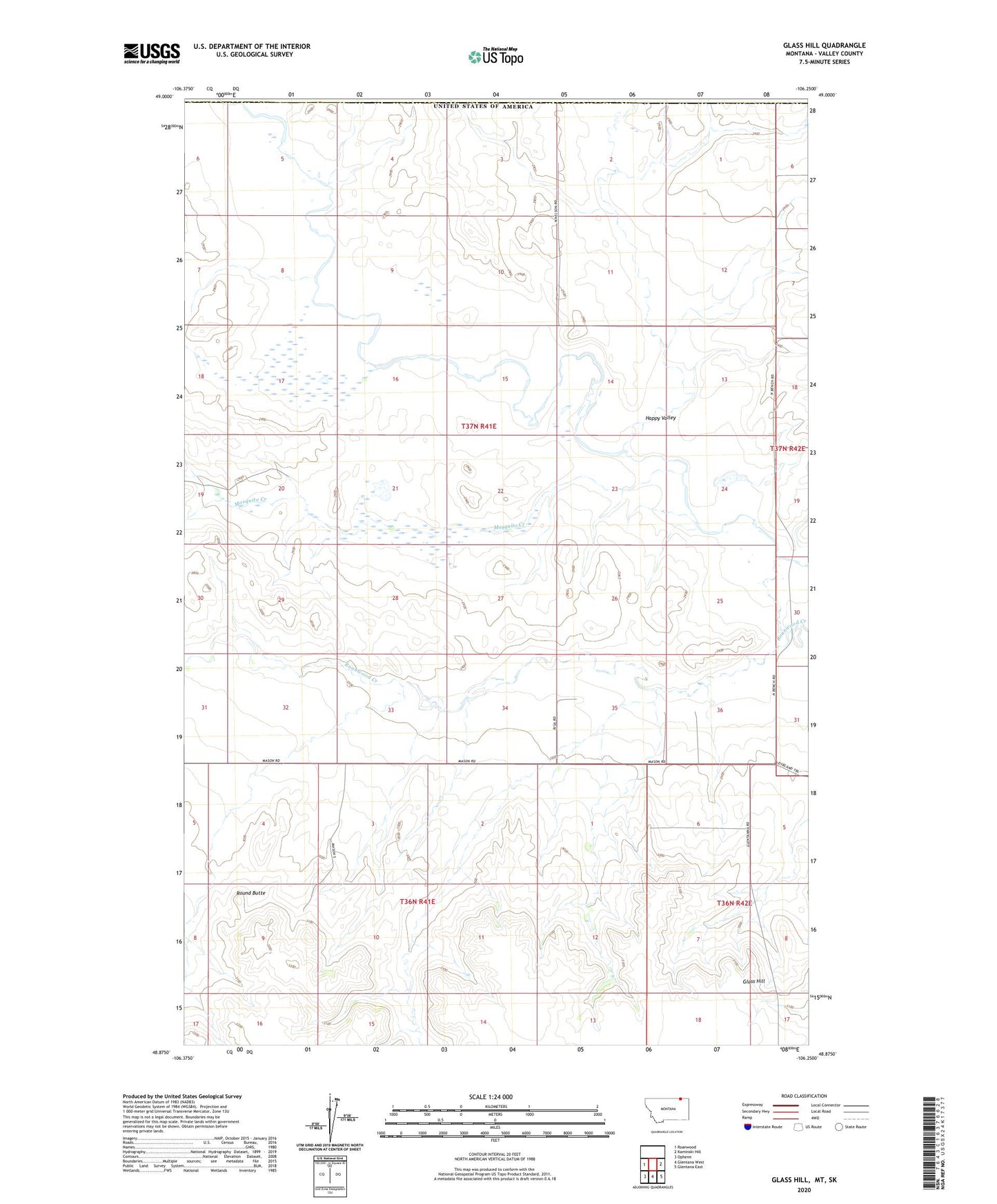
2024 topographic map quadrangle Glass Hill in the state of Montana. Scale: 1:24000. Based on the newly updated USGS 7.5' US Topo map series, this map is in the following counties: Valley. The map contains contour data, water features, and other items you are used to seeing on USGS maps, but also has updated roads and other features. This is the next generation of topographic maps. Printed on high-quality waterproof paper with UV fade-resistant inks.
Quads adjacent to this one:
West: Roanwood
East: Kaminski Hill
Southeast: Glentana East
South: Glentana West
Southwest: Opheim
This map covers the same area as the classic USGS quad with code o48106h3.
Contains the following named places: 37N41E03ADCA01 Well, 37N41E09ADCA01 Well, 37N41E11DCDA01 Well, 37N41E11DDCB01 Well, 37N41E11DDCC01 Well, 37N42E18BCBC01 Well, Eddie Number 6 Dam, Glass Hill, Happy Valley, Happy Valley School, Mosquito Creek, Professor Pool Dam, Prospect School, Round Butte, Stewart Creek