MyTopo
Goodale Coulee Montana US Topo Map
Couldn't load pickup availability
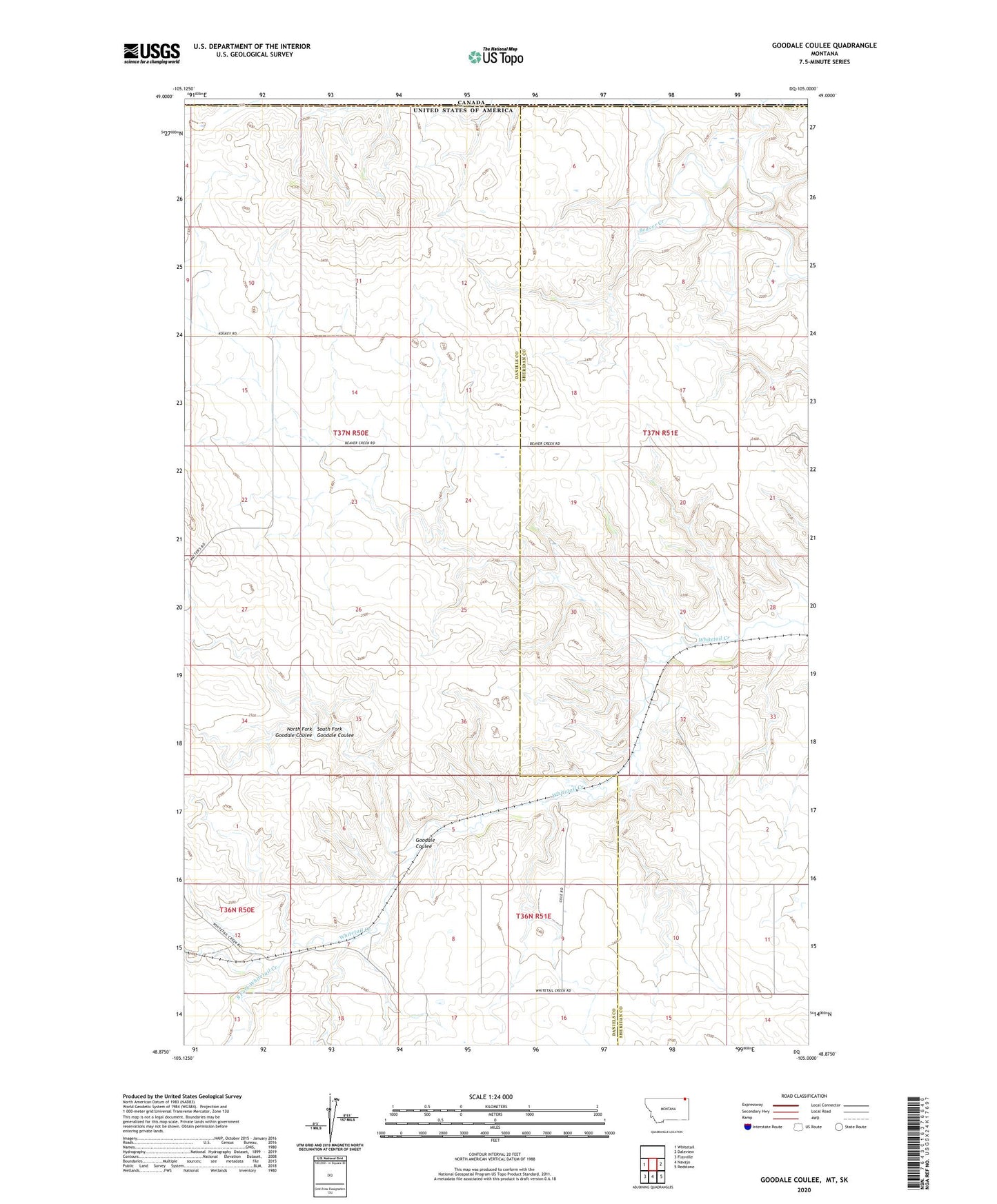
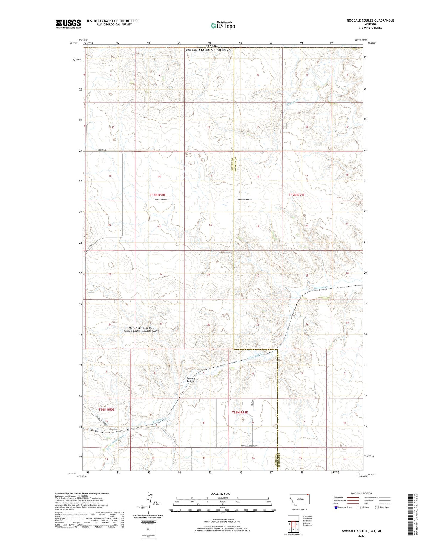
2020 topographic map quadrangle Goodale Coulee in the state of Montana. Scale: 1:24000. Based on the newly updated USGS 7.5' US Topo map series, this map is in the following counties: Daniels, Sheridan. The map contains contour data, water features, and other items you are used to seeing on USGS maps, but also has updated roads and other features. This is the next generation of topographic maps. Printed on high-quality waterproof paper with UV fade-resistant inks.
Quads adjacent to this one:
West: Whitetail
East: Daleview
Southeast: Redstone
South: Navajo
Southwest: Flaxville
Contains the following named places: 36N51E05CAAA01 Well, 36N51E09BABB01 Well, 37N50E23BADC01 Well, Goodale Coulee, Little Beaver Creek, North Fork Goodale Coulee, South Fork Goodale Coulee, South Fork Whitetail Creek