MyTopo
Navajo Montana US Topo Map
Couldn't load pickup availability
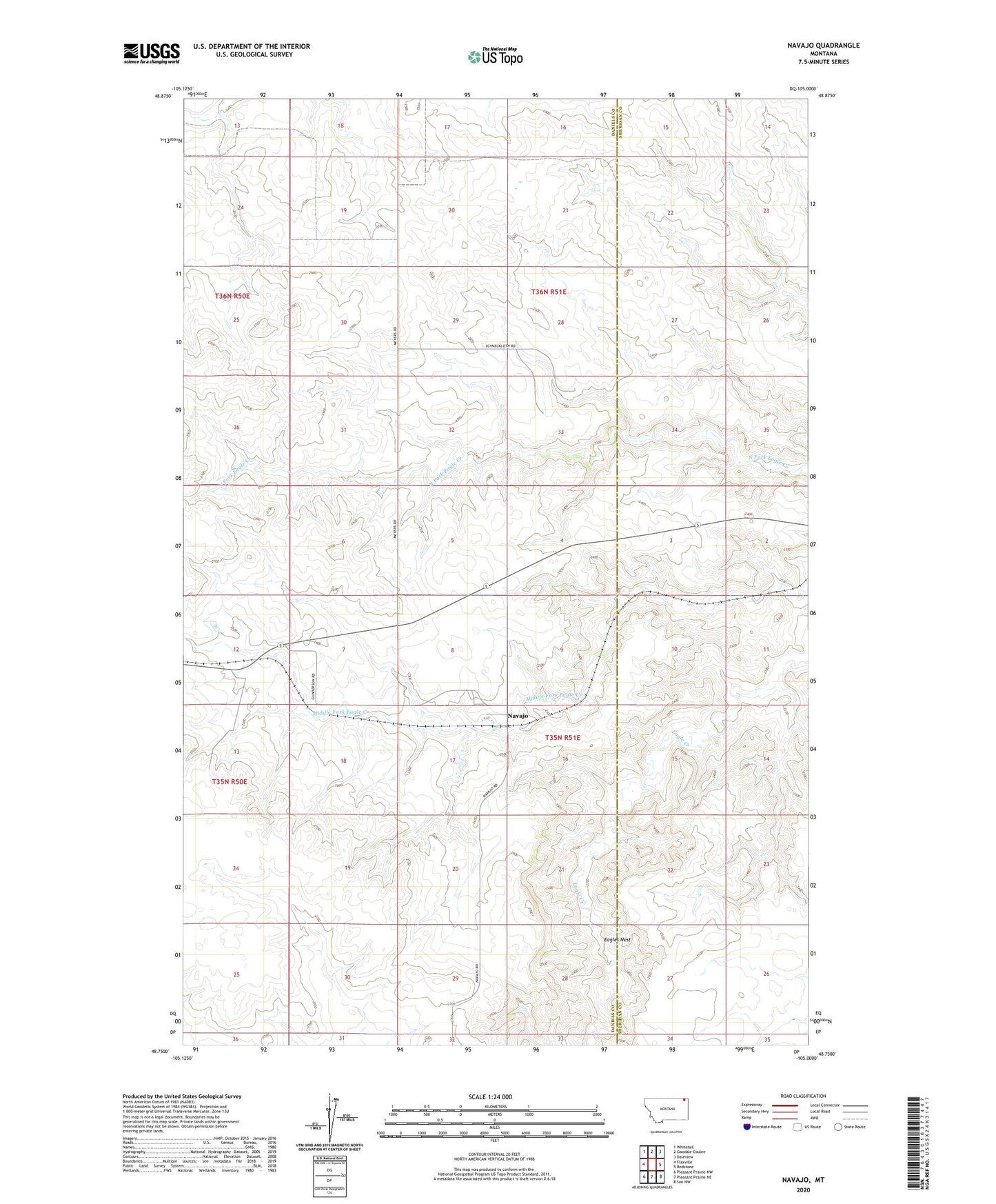
2024 topographic map quadrangle Navajo in the state of Montana. Scale: 1:24000. Based on the newly updated USGS 7.5' US Topo map series, this map is in the following counties: Daniels, Sheridan. The map contains contour data, water features, and other items you are used to seeing on USGS maps, but also has updated roads and other features. This is the next generation of topographic maps. Printed on high-quality waterproof paper with UV fade-resistant inks.
Quads adjacent to this one:
West: Flaxville
Northwest: Whitetail
North: Goodale Coulee
Northeast: Daleview
East: Redstone
Southeast: Soo NW
South: Pleasant Prairie NE
Southwest: Pleasant Prairie NW
This map covers the same area as the classic USGS quad with code o48105g1.
Contains the following named places: 35N51E17ABAA01 Well, 35N51E18ABBD01 Well, 36N50E36BCAC01 Well, 36N51E20DCCB01 Well, 36N51E29CCCA01 Well, Eagles Nest, McCoys Dam, Navaho Post Office, Navajo, Navajo School