MyTopo
Hailstone Basin SE Montana US Topo Map
Couldn't load pickup availability
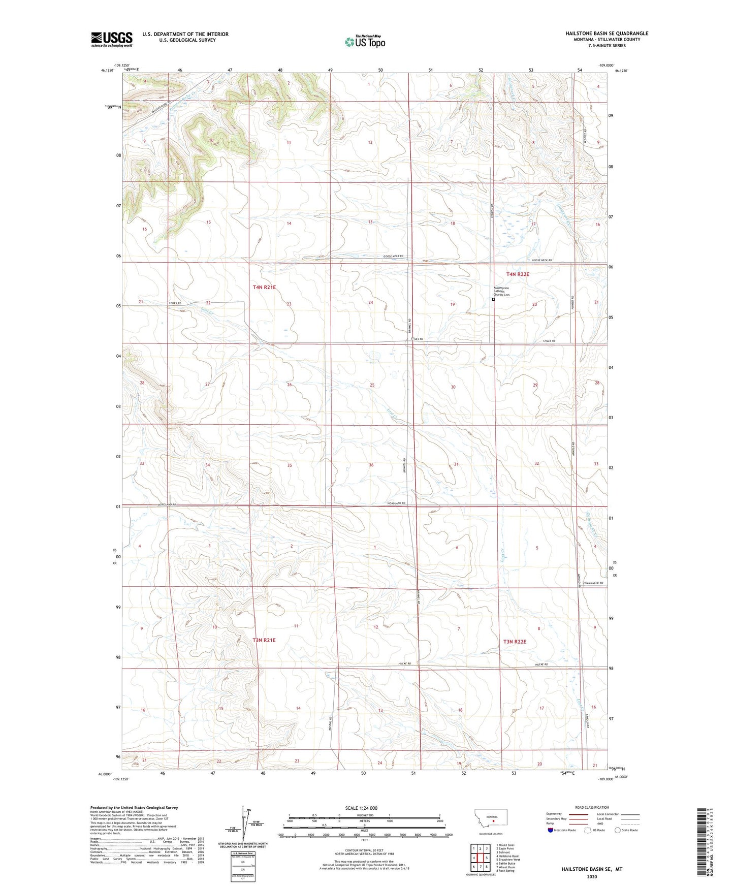
2024 topographic map quadrangle Hailstone Basin SE in the state of Montana. Scale: 1:24000. Based on the newly updated USGS 7.5' US Topo map series, this map is in the following counties: Stillwater. The map contains contour data, water features, and other items you are used to seeing on USGS maps, but also has updated roads and other features. This is the next generation of topographic maps. Printed on high-quality waterproof paper with UV fade-resistant inks.
Quads adjacent to this one:
West: Hailstone Basin
Northwest: Mount Sinai
North: Eagle Point
Northeast: Belmont
East: Broadview West
Southeast: Rock Spring
South: Wheat Basin
Southwest: Battle Butte
This map covers the same area as the classic USGS quad with code o46109a1.
Contains the following named places: 04N21E34CCCC01 Well, 06N21E14DDDD01 Well, Assumption Catholic Church Cemetery, Our Lady of the Assumption Church, Shorey