MyTopo
Hay Coulee Montana US Topo Map
Couldn't load pickup availability
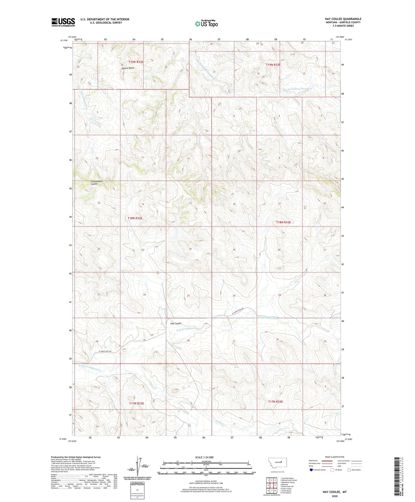
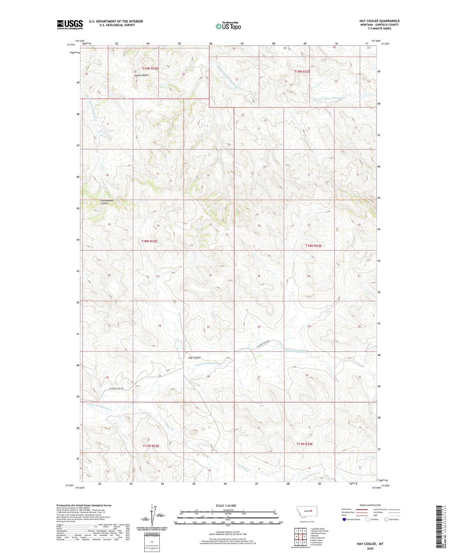
2020 topographic map quadrangle Hay Coulee in the state of Montana. Scale: 1:24000. Based on the newly updated USGS 7.5' US Topo map series, this map is in the following counties: Garfield. The map contains contour data, water features, and other items you are used to seeing on USGS maps, but also has updated roads and other features. This is the next generation of topographic maps. Printed on high-quality waterproof paper with UV fade-resistant inks.
Quads adjacent to this one:
West: Benzien
Northwest: Cap Rock Butte
North: Spring Creek School
Northeast: Blackfoot School
East: Steve Forks SW
Southeast: Twin Buttes
South: Coffin Butte
Southwest: Searl Coulee
Contains the following named places: 18N32E25CCCC01 Well, Dilo Post Office, Dilo School, Hay Coulee, Haypense Dam, Pense Reservoir Dam, Square Butte, Union Creek